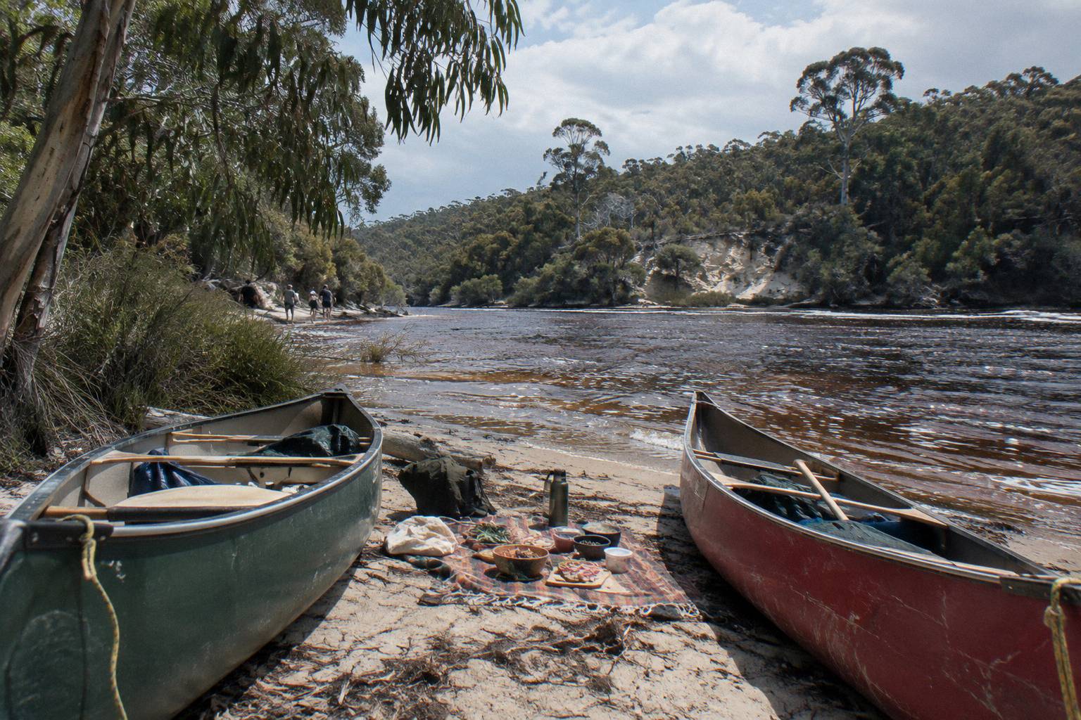
River Water Temperature And Flow For A Canoe Paddle, Season By Season
No official Margaret River water temperature figure turned up. What does exist is a rich set of air temperature averages, rainfall data and sandbar behaviour, and together those tell you what a paddle actually feels like in each season.
Short answer
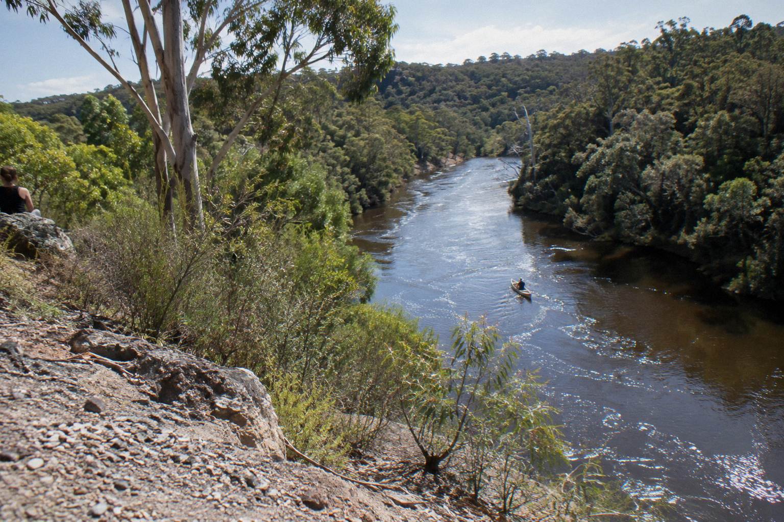
No official Margaret River water temperature, depth or flow rate figure exists. The river's lower stretch is motor-free and, in a hire base's words, 'more like a long lake' most of the year. Air averages range from a July mean maximum of 16.4 °C to 27.1 °C in February, and water levels are lowest over summer and autumn.
Most people searching for Margaret River water temperature want one number, and no official water temperature figure turned up for this stretch, and the same goes for depth, flow rate and clarity figures for the lower river. Build the picture from the record instead of guessing: Bureau of Meteorology air temperature and rainfall averages for the region, the Shire's account of how the river mouth behaves, and the operators' descriptions of the water you paddle on. The result is a season-by-season read on conditions that you can trust because every piece of it is attributed.
The stretch that matters here is the lower Margaret River, from the river mouth at Prevelly upstream into the river valley. The Wild Food Canoe Lunch run by Bushtucker Wine And River Tours starts at the Margaret River mouth car park at the end of Rivermouth Road, Prevelly, and paddles upstream, not out to sea. Prevelly sits about 10 km, roughly 10 to 15 minutes, from Margaret River town according to the regional tourism drive-times table. If you want the deeper background on where trips meet and how to get there, the guide on where the canoe paddle starts and how to get there covers the ground in detail.
Is There An Official Margaret River Water Temperature?
No official water temperature figure for the Margaret River turned up. No official depth, flow rate or clarity figure turned up either. Anyone quoting you a specific degree figure for this river is estimating, not reporting, and wetsuit advice built on such a figure is guesswork.
That gap is worth stating once, clearly, and then working around. The Bureau of Meteorology maintains long-running climate stations at Witchcliffe, inland from the river, and at Cape Leeuwin on the coast, and both record air temperatures and rainfall, not river water temperatures. The Shire of Augusta Margaret River, which manages the river mouth area, publishes detailed guidance on the sandbar and water levels but no temperature. The operators themselves describe the paddling experience in words rather than degrees: the hire base on Rivermouth Road says that for most of the year the stretch is "more like a beautiful long lake with no strong river currents".
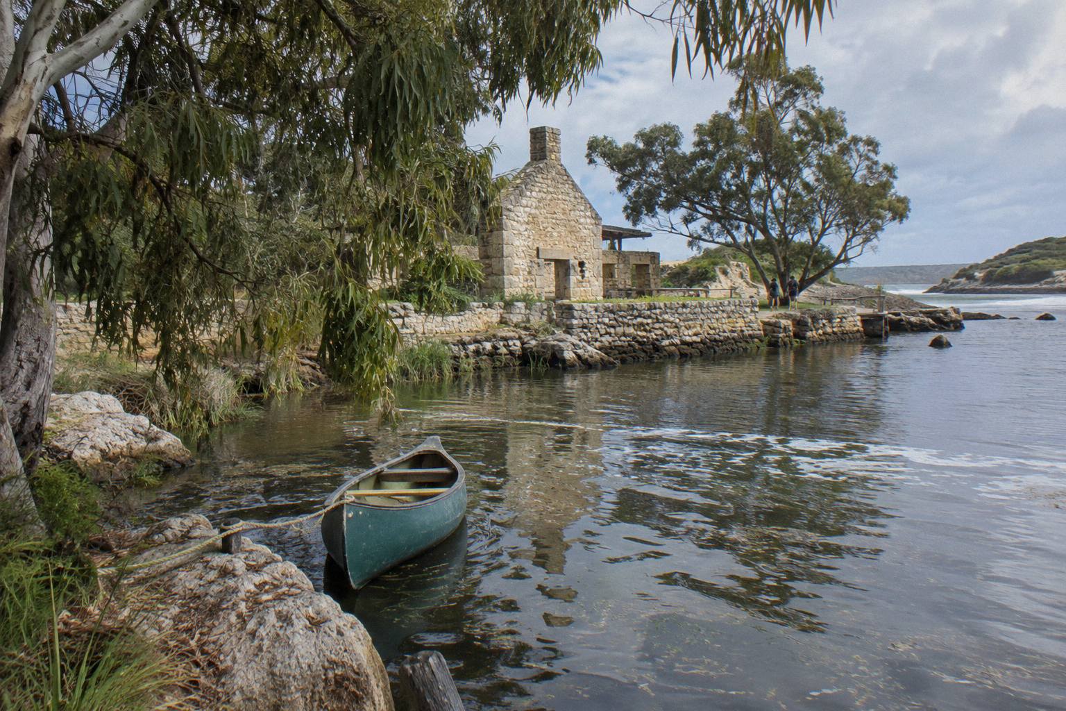
What you can do with the missing number is reason from the facts that do exist. The river is a freshwater system roughly 60 km long with a catchment of about 477 square kilometres and a 190 km network of tributaries, the largest being the Mowen River and Bramley Brook. Known to the Wadandi people as Wooditjup, it is a small, sheltered coastal river, not an alpine stream, and the paddling itself stays inside the river valley rather than crossing open water. For comfort planning, the air temperature averages, the wind exposure on the day, and what you wear matter far more than any water figure would, and those are all covered below with real numbers.
What The Air Temperatures Actually Average, Month By Month
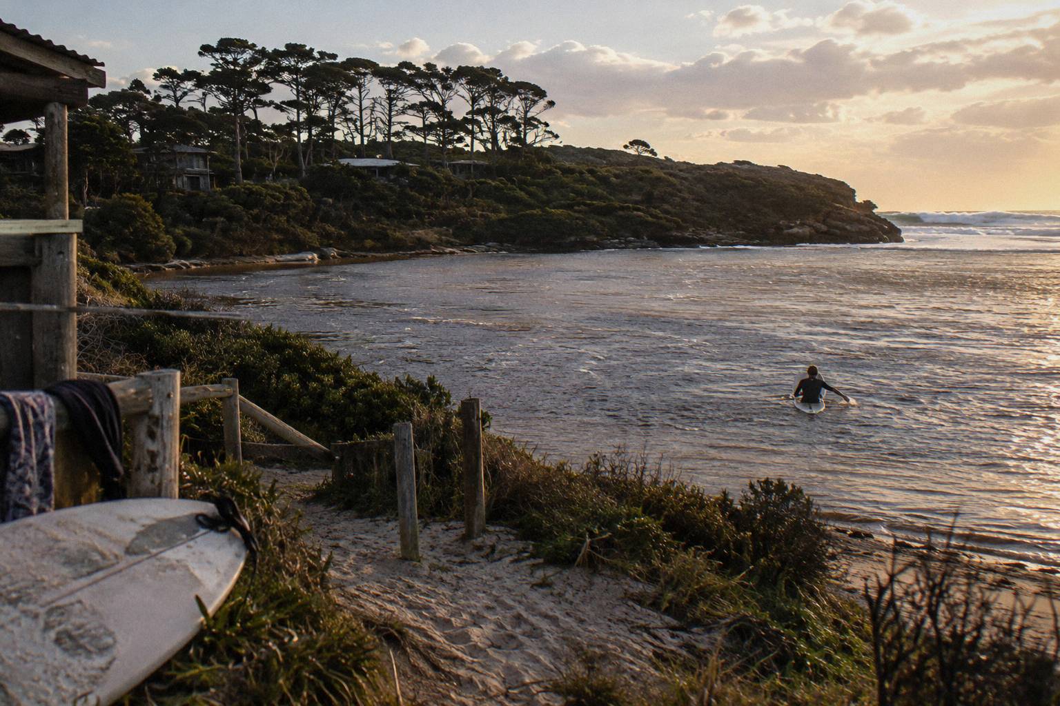
Bureau of Meteorology averages over 22 years, from 1999 to 2021, put Witchcliffe, inland near Margaret River, at mean maximums between 16.4 °C in July and 27.1 °C in February, with mean minimums from 8.2 °C in July and August to 14.4 °C in February, while coastal Cape Leeuwin stays milder, from 16.5 °C to 23.4 °C for maximums and 11.3 °C to 17.3 °C for minimums.
These are averages, not forecasts, and they are the most reliable temperature signal a paddler has for this region. The inland station runs hotter in summer and cooler in winter than the coast, which is normal, and the river valley you paddle in sits somewhere between the two. February is the hottest month on the Witchcliffe record with a mean maximum of 27.1 °C; July is the coolest at 16.4 °C.7 °C, which is why the shoulder months feel so forgiving on the water.
| Month | Witchcliffe mean max C | Witchcliffe mean min C | Cape Leeuwin mean max C | Cape Leeuwin mean min C |
|---|---|---|---|---|
| January | 26.6 | 13.9 | 23.1 | 17.0 |
| February | 27.1 | 14.4 | 23.4 | 17.3 |
| March | 25.6 | 13.3 | 22.7 | 16.8 |
| April | 22.5 | 11.3 | 21.3 | 15.5 |
| May | 19.7 | 9.8 | 19.3 | 13.8 |
| June | 17.5 | 8.9 | 17.4 | 12.2 |
| July | 16.4 | 8.2 | 16.5 | 11.4 |
| August | 16.8 | 8.2 | 16.5 | 11.3 |
| September | 17.5 | 8.6 | 17.2 | 11.9 |
| October | 19.7 | 9.4 | 18.3 | 12.7 |
| November | 22.8 | 10.9 | 20.2 | 14.3 |
| December | 24.9 | 12.4 | 21.9 | 15.8 |
The full monthly tables behind these figures come straight from the Bureau's own climate averages for Witchcliffe and Cape Leeuwin. For planning a paddle, the mean minimum is the number to watch in the colder months, because a July or August morning starts near 8 °C inland before the day warms toward the mid teens. Rainfall matters too, and it is covered with its own numbers in the flow section below.
Two guided options sit on this river, and both are shaped by these seasons rather than stopped by them. The Wild Food Canoe Lunch from Bushtucker Wine And River Tours runs from A$150 per person, is rated 4.9 from 228 reviews, and lasts about 4 to 4.5 hours on the water; the operator says it "Runs: Year Round". The Canoe, 4x4 And Wine Day from Margaret River Discovery Co, the trip with the most reviews at 5.0 from 2,100+ reviews, costs from A$248 per person over about 5.5 to 6 hours and runs Monday to Friday. You can compare both with the operators directly.
How The River Flow Behaves: A Long Lake, Not A Current
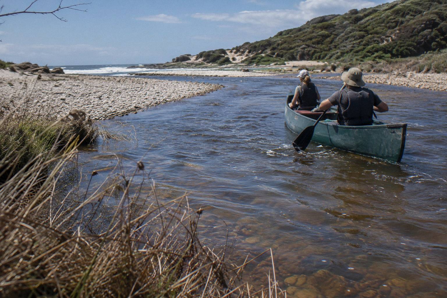
The lower Margaret River is motor-free, with no strong current for most of the year, and a self-guided hire base on Rivermouth Road describes the stretch as "more like a beautiful long lake" with no motor boats and no vehicle access, offering up to 3 km of paddling. Bushtucker's tour page states that "no motor craft are permitted on the river". The sandbar at the mouth opens and closes naturally with river flows, rainfall and ocean conditions.
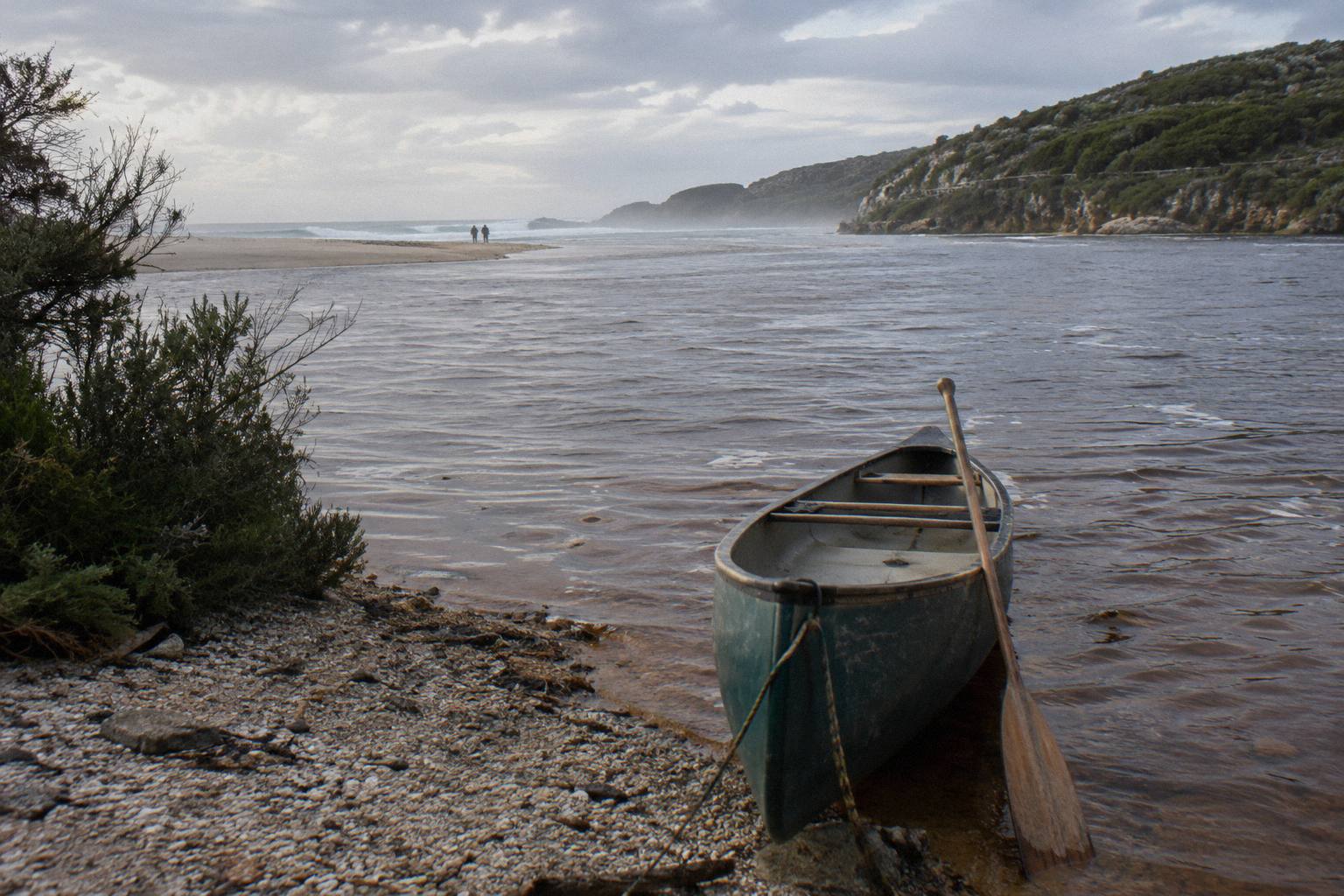
This is the single most useful set of facts for anyone nervous about paddling here. The operator's own description of the route is a paddle upstream from the river mouth into the river valley, past cliffs and forested banks where kangaroos are seen, with the history of the first inhabitants and of the Bussell family told along the way. There is no whitewater claim anywhere in the operator material, and no current claim beyond the hire base's explicit statement that strong currents are absent most of the year. The same hire base notes the mouth opens "for a short period each year", which is when the river exchanges water with the ocean.
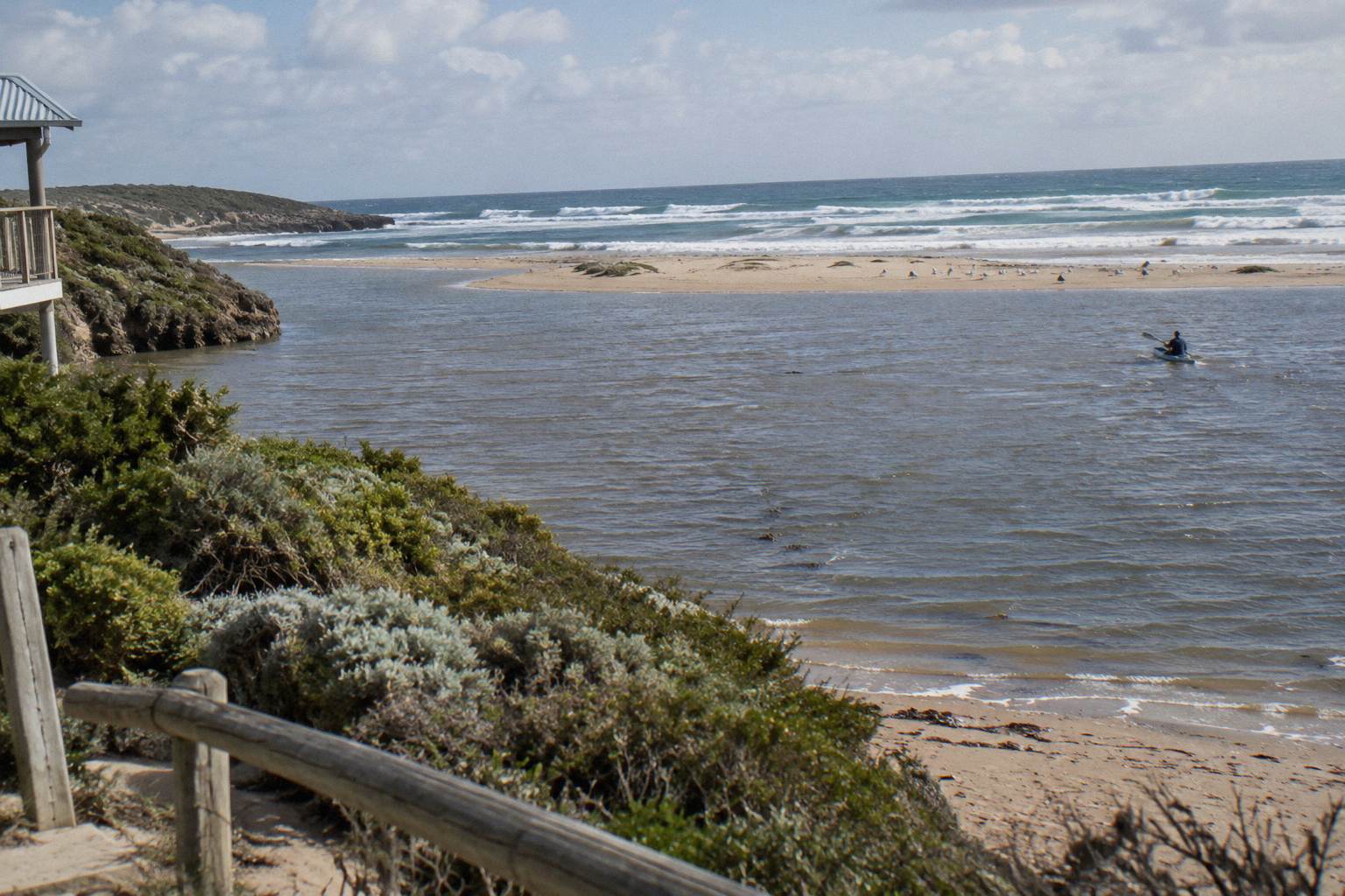
The flow picture connects directly to rainfall. The Witchcliffe record shows a strongly winter-weighted pattern: July averages 194.1 mm, June 179.7 mm and August 157.7 mm, while February averages just 12.2 mm and January 12.3 mm. Rain falls, the catchment fills, the river pushes toward the sea and the sandbar may breach; the Shire describes exactly this cycle, noting that "throughout the year, the Rivermouth naturally opens and closes as river flows, rainfall and ocean conditions change". When the sandbar is closed, freshwater pools form in the lower river, which is the glassy, lake-like condition paddlers most often meet. The Shire also asks visitors not to dig channels through the sandbar, a rule worth repeating: the bar is a natural structure, not an obstacle to be engineered open.
For a fuller treatment of current strength and safety, read how strong the river flow is for a canoe paddle and the companion piece on whether it is safe to paddle the Margaret River mouth. No flow rate in cubic metres per second can be quoted for this reach, because none exists; the account is behavioural, not numeric.
Wondering whether a guided day still makes sense in the cooler, wetter months? The core paddle runs year round, and the operator keeps everyone in canoes with gear and instruction included.
Season By Season: What Conditions Mean For Your Paddle
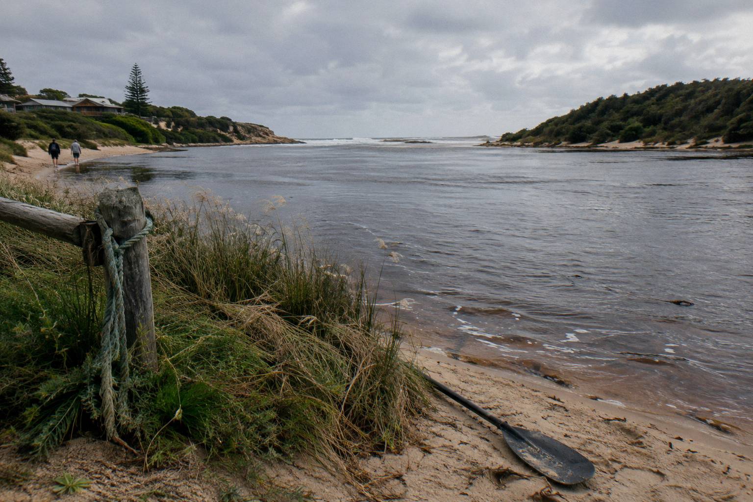
Summer and autumn bring the lowest water levels of the year, per the Shire, along with the warmest air on record, a February mean maximum of 27.1 °C and the driest months, February at 12.2 mm. Winter delivers the heaviest rain, July at 194.1 mm, and the coolest mean maximum, 16.4 °C. Spring sits between the two, with rising temperatures and falling rainfall through September, October and November.
Working from those anchor points, each season has a recognisable paddling character. In summer, expect the closed-sandbar, lagoon-like lower river, warm air, and the year's lowest water levels; shade in the valley and a morning start matter more than any water figure. Autumn keeps the warm air, with April still averaging a 22.5 °C mean maximum, while the first substantial rain arrives, 62.6 mm on average in April and 132.3 mm in May, beginning the slow refill of the catchment. Winter is the wet, green season: levels rise, the river runs with more purpose, and the chance that the sandbar is open is at its yearly peak, though no operator or agency will promise the mouth is open on any given date. Spring is the transition, with 108.7 mm in September falling to 34.7 mm by November and mean maximums climbing from 17.5 °C to 22.8 °C.
| Season | Air character (BoM averages) | Water character (stated facts) | What it means for paddling |
|---|---|---|---|
| Summer | Mean max 24.9 to 27.1 °C; driest months, 12.2 to 12.3 mm | Lowest water levels of the year (Shire); sandbar typically closed, freshwater pools | Warm, calm, lake-like paddling; morning starts avoid the heat |
| Autumn | Mean max cooling 25.6 to 19.7 °C; rain rising 27.8 to 132.3 mm | Levels begin recovering as rain arrives | Warm water-side air, valley colour, first fresh flows late in the season |
| Winter | Coolest, mean max 16.4 to 17.5 °C; wettest, 157.7 to 194.1 mm | Highest flows; sandbar most likely to open, never promised | Green valley, fuller river, dress for the day's weather not the water |
| Spring | Mean max rising 17.5 to 22.8 °C; rain easing 108.7 to 34.7 mm | Flows easing, levels settling | Gentle conditions returning, wildflower season in the valley |
For a month-by-month read on choosing a date, see the site's guide to paddling weather month by month, and for the cold-month specifics there is a dedicated piece on a canoe paddle in winter rain and cold.
Depth And Clarity: The Facts
Depth matters for safety, especially for parents and non-swimmers, so it deserves its own treatment. The defensible chain of reasoning runs like this. The Shire states levels are lowest over summer and autumn, which follows directly from the rainfall table, since the catchment receives almost no rain from December through February and evaporation works on closed, still pools. After the winter rains, June through August delivering 157.7 mm, 194.1 mm and 179.7 mm respectively on the Witchcliffe average, the catchment of about 477 square kilometres sheds water into the river network and levels rise. Where exactly on that seasonal curve the river sits on your chosen day depends on the preceding weeks of actual weather, not averages, which is why no number is offered here.
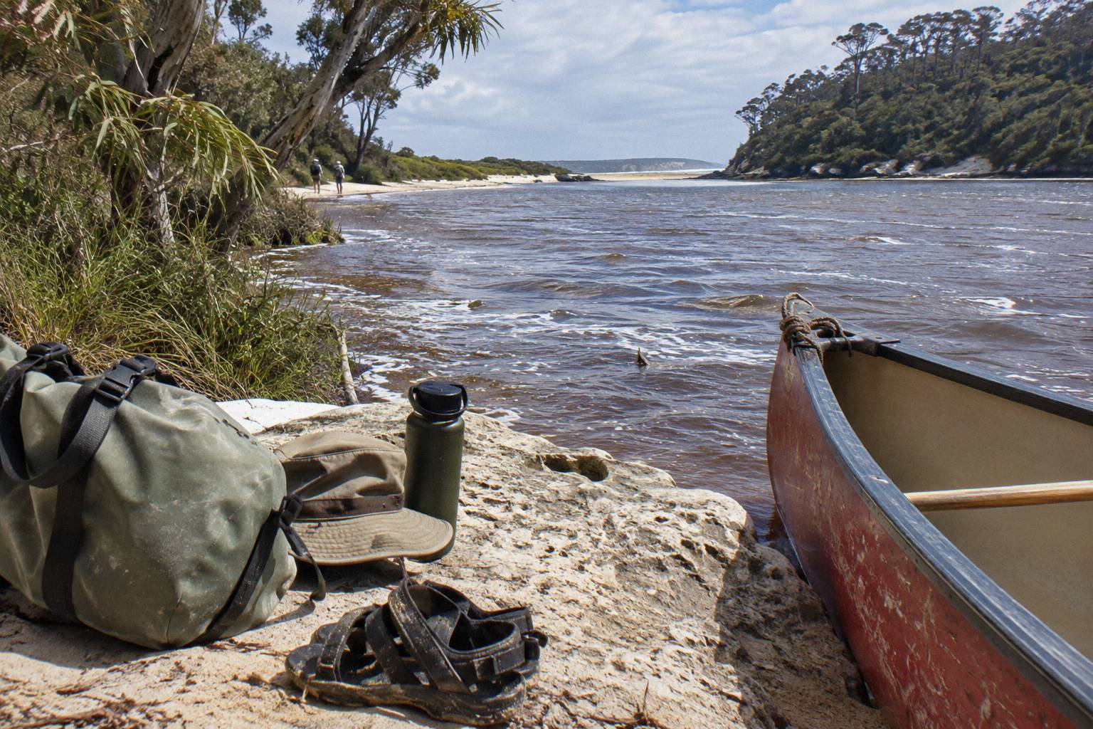
Clarity behaves similarly. A closed sandbar means still freshwater pooling, and still water settles; a recently breached bar and high winter flows mean a river carrying more material. None of this is measured officially on this reach, so the practical advice is to ask the operator about conditions for your date, and to read the site's guide for beginners and families on a canoe paddle with kids and beginners for the swimming-ability question, where the published position is stated plainly rather than guessed.
The longer day option, the Canoe, 4x4 And Wine Day, spends part of its time off the water entirely, with a beach coffee stop, a waterhole visit, lunch with premium wine in the barrel room at Fraser Gallop Estate, and a 4x4 leg along the Wilyabrup Cliffs. Its operator, Margaret River Discovery Co, caps the day at six guests and runs it Monday to Friday from the Margaret River Visitor Centre at 10:15 am.
Guided Paddle Or Self-Guided Hire In Each Season
In every season, guided paddles and self-guided hire share the same motor-free stretch of the lower river: trips like the Wild Food Canoe Lunch (from A$150 per person) add gear, instruction, commentary and a wild food lunch, while hire from the Rivermouth Road base gives open-ended paddling with free paddles, life jackets and wetsuits.
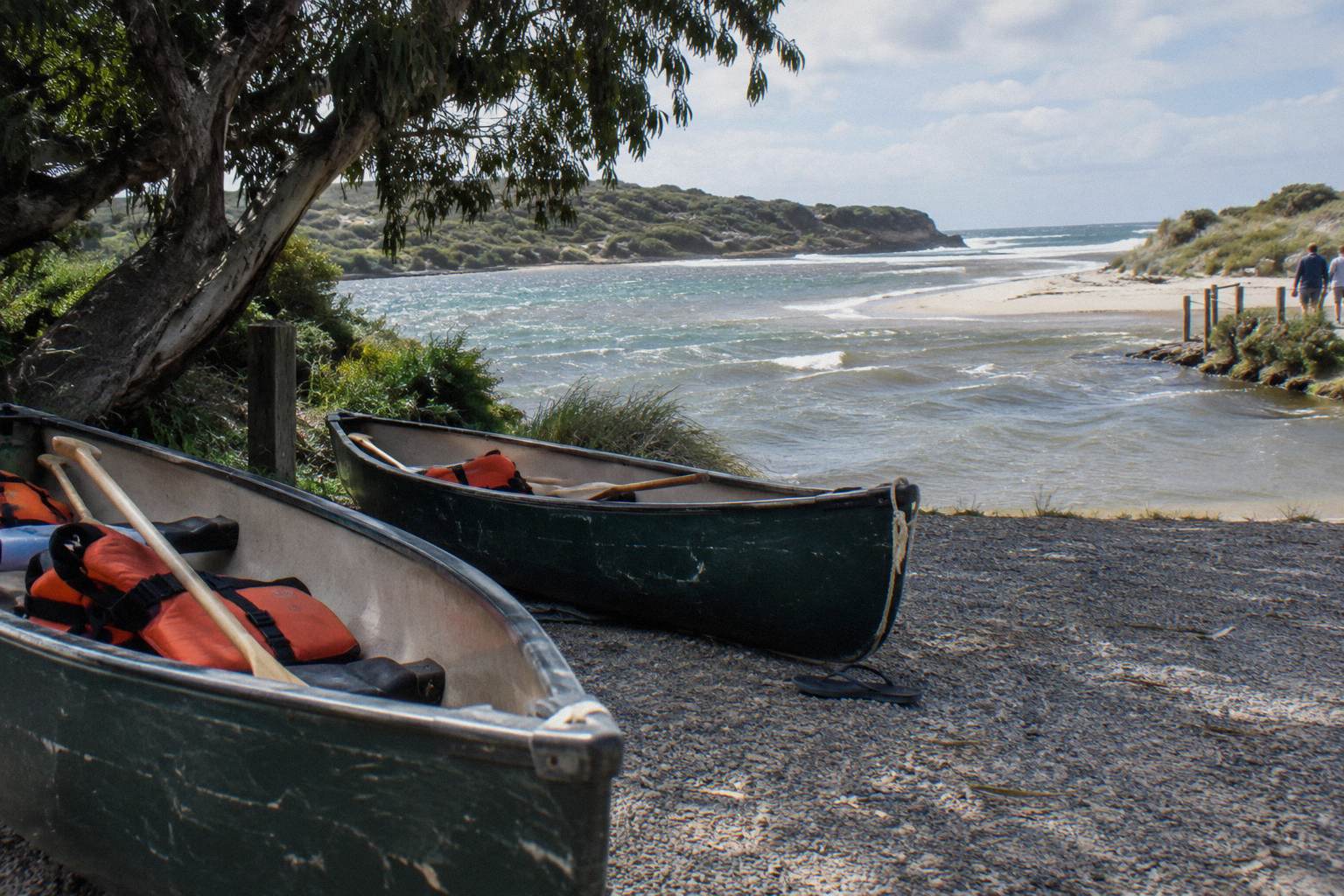
The seasonal logic differs between the two. In the hottest months, a guided trip has a set start time, on the water by 10.15 am per the Bushtucker schedule, which naturally beats the heat; hire lets you choose your own hour but leaves the timing discipline to you. In winter, a guided lunch is a warm midpoint in the day, while hirers should plan their own comfort stops. The hire base's Canadian canoes are licensed for at most three people, and its own wording about the stretch, "no motor boats here and no vehicle access to this section of the river, so you can paddle along in absolute peace for up to 3km", applies equally to guided groups, since the motor-free rule is river-wide. Hire amounts are not given here; check with the hire base directly.
| Wild Food Canoe Lunch | Canoe, 4x4 And Wine Day | Self-guided hire | |
|---|---|---|---|
| Operator or provider | Bushtucker Wine And River Tours | Margaret River Discovery Co | A hire base on Rivermouth Road, Prevelly |
| Price | From A$150 per person | From A$248 per person | Check the hire base |
| Duration | About 4 to 4.5 hours | About 5.5 to 6 hours | Open-ended |
| Days | Year round (operator) | Monday to Friday | Check with the base |
| Group | Canoes are 2 to 5 seaters | At most six guests | Canadian canoes for at most 3 people |
| Included | Canoes, equipment, instruction, wild food lunch with 20 native tastings | Canoe leg, coffee stop, waterhole, lunch with premium wine, 4x4 and cliffs walk | Paddles, life jackets and wetsuits free with hire |
| Rating | 4.9 from 228 reviews | 5.0 from 2,100+ reviews |
For the fuller argument on both paths, the site's comparison of canoe or kayak hire versus a guided paddle works through the trade-offs without declaring a winner, and whether a canoe paddle is worth it addresses the value question directly.
Weather Policies: What Operators Actually Publish
No wet-weather, cancellation-for-weather or heat policy is published by either operator's own materials, so none can be stated here; the only relevant published items are that the Wild Food Canoe Lunch "Runs: Year Round" and that cancellation terms differ between booking pages, so you should check the booking page for the date you book.
This is a gap worth naming plainly because weather questions are where planning decisions are made. Bushtucker specifies no minimum age, weight limit, swimming requirement, what to bring, or wet-weather policy; ask the operator for those details before you book. Margaret River Discovery Co's official page likewise publishes no weather cancellation terms, though the booking pages for its day show free cancellation up to 24 hours, and terms can differ between pages, so the booking page for your date is the authority.
Planning Your Day Around Temperature And Flow
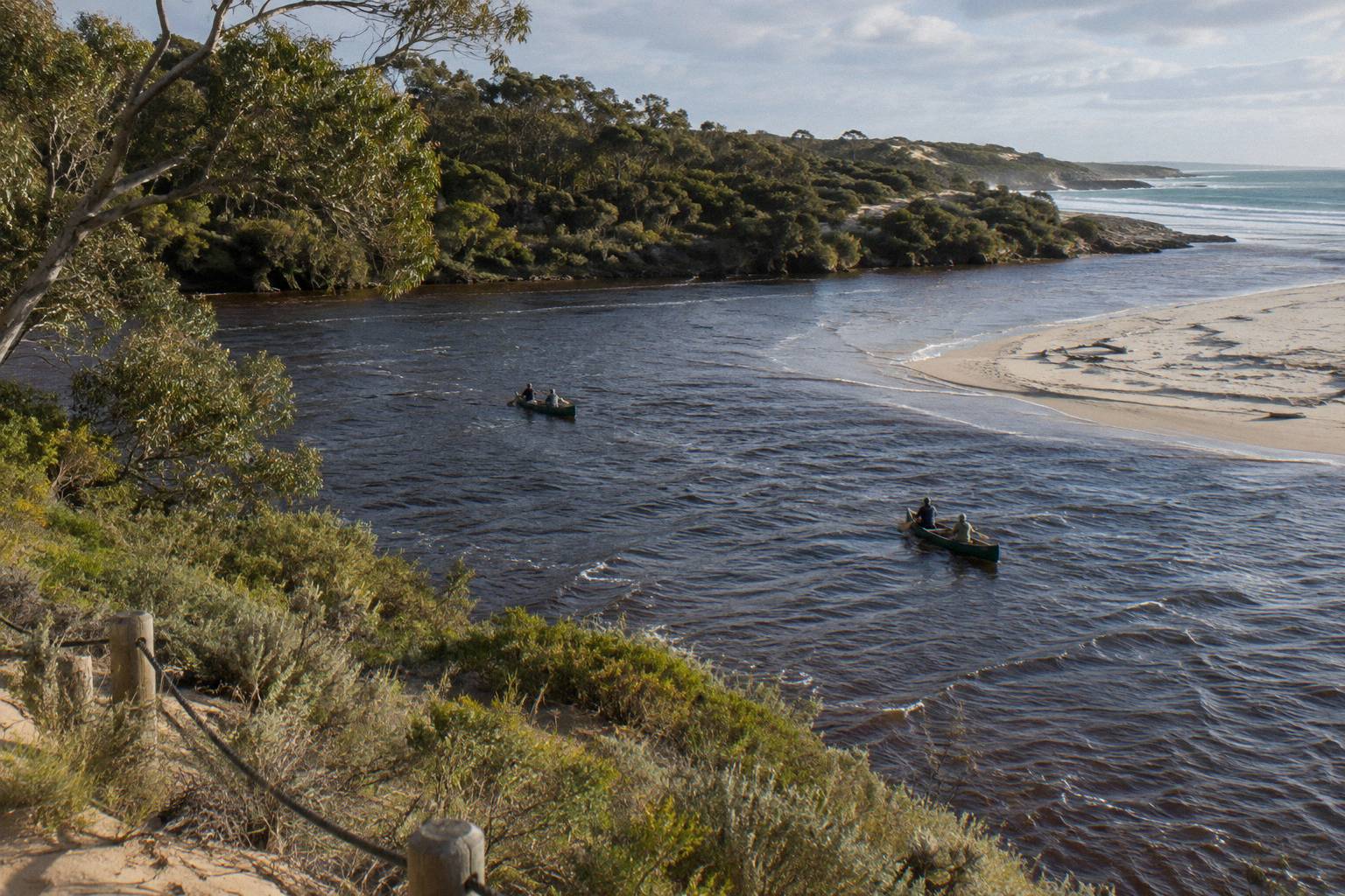
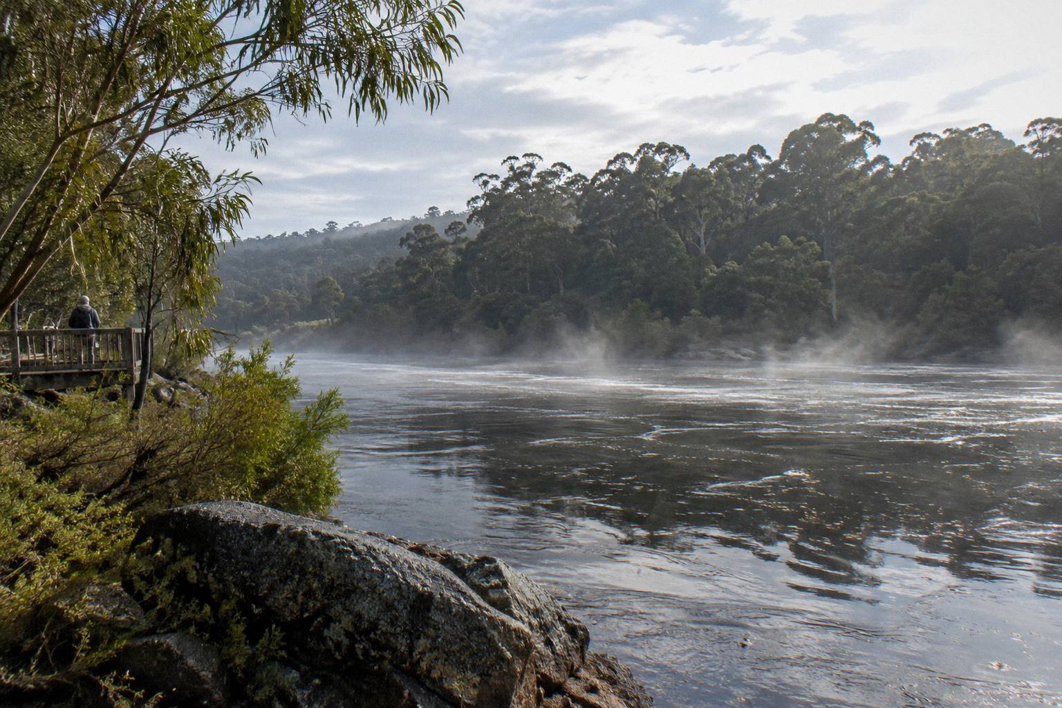
Plan from the air averages and the sandbar cycle rather than a water temperature: in the warm months start early and expect still, low-level water behind a closed bar; in winter dress for the day's weather, expect higher levels and greener valley, and ask the operator about recent conditions. Prevelly is about 10 km, or 10 to 15 minutes, from Margaret River town, so morning logistics are simple either way.
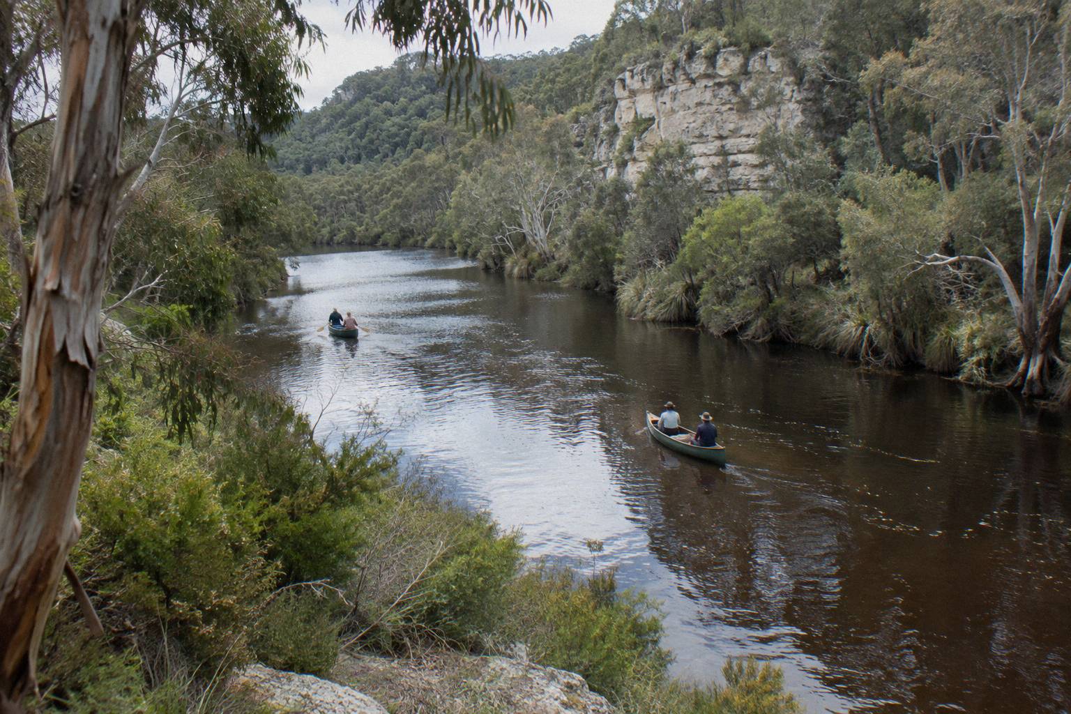
The practical sequence looks like this. Pick a season from the tables above, check the Bureau's forecast close to your date, and ask the operator two questions: what the river is doing that week, and what the booking page's cancellation terms say for your date. On the day, the Wild Food Canoe Lunch meets at the Margaret River mouth car park at the end of Rivermouth Road around 9.40 to 9.45 am, with pickup from the Margaret River Visitor Centre by arrangement if you have no transport, and finishes at Surfer's Beach about 2 pm. The Canoe, 4x4 And Wine Day departs the back car park of the Margaret River Visitor Centre at 10:15 am with no hotel pickup. If you are fitting the paddle into a bigger itinerary, the guide to planning a Margaret River day around a canoe paddle maps the timing against the region's other sights, and note that entry to Leeuwin-Naturaliste National Park, where several of those sights sit, is free, with cave admission fees applying separately.
Dress for the conditions: a July morning at a mean minimum of 8.2 °C inland and a February afternoon at a 27.1 °C mean maximum are different wardrobes, and neither has anything to do with water temperature, for which no figure exists. The river's own behaviour, motor-free and lake-like most of the year, is the constant across both.
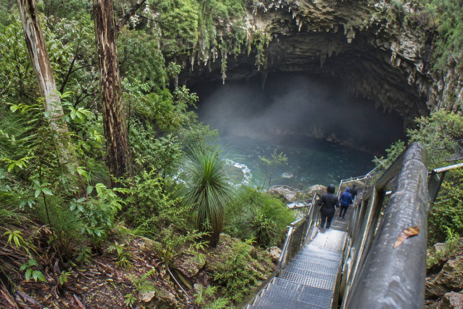
For the full-day option that pairs the paddle with lunch, wine and the cliffs, check availability with the operator for your dates, keeping in mind it runs Monday to Friday only.
Both river experiences, compared side by side with live availability, are below.
Common Questions About River Temperature And Flow
Is There An Official Margaret River Water Temperature?
No. Neither the Bureau of Meteorology nor the Shire of Augusta Margaret River publishes a water temperature for the river, and no official depth, flow rate or clarity figure exists either. Any specific degree figure you see for this river is an estimate, not a measurement.
Is The Margaret River Cold To Paddle?
There is no published water temperature to answer with degrees. The planning facts are the air averages, a July mean maximum of 16.4 °C and a February mean maximum of 27.1 °C at Witchcliffe, and the still, lake-like character of the motor-free lower stretch. Dress for the air and the day's weather, and ask the operator about conditions for your date.
Does The Margaret River Have A Current?
For most of the year the lower river behaves like a long lake with no strong currents, in the words of the Rivermouth Road hire base, and no motor craft are permitted on the river. Stronger flows come with winter rain, and the sandbar at the mouth opens and closes naturally as flows, rainfall and ocean conditions change.
When Are Water Levels Lowest On The Margaret River?
The Shire of Augusta Margaret River states that water levels are lowest over summer and autumn, which follows the rainfall record: February averages 12.2 mm against July's 194.1 mm at Witchcliffe. When levels are low and the sandbar is closed, freshwater pools form in the lower river.
Does The River Mouth Always Meet The Ocean?
No. The Rivermouth naturally opens and closes through the year as river flows, rainfall and ocean conditions change, and no operator or agency will promise it is open on any given date. The guided paddle itself runs upstream from the mouth into the river valley, not out to sea.
What Happens If The Weather Is Bad On My Paddle Day?
No wet-weather, cancellation-for-weather or heat policy is published by either operator, so ask before you book. Cancellation terms differ between booking pages, so check the booking page for the date you book; the Wild Food Canoe Lunch runs year round per the operator.