Margaret River Weather For Paddling: Month-By-Month Canoe Conditions
Margaret River weather swings from hot, almost rainless February days to wet July weeks, and both shapes the paddle differently. Here are the Bureau of Meteorology monthly averages for the inland and coastal stations, read for the water, the wind and the sandbar.
Short answer
February is the hottest month on the inland averages, 27.1 degrees mean maximum, and also the driest at 12.2 mm of rain. July is the wettest at 194.1 mm and the coolest at 16.4 degrees. The guided wild food canoe runs year round, the operator says, while river levels are lowest over summer and autumn.
Weather decides more on the Margaret River than on most paddling rivers. The river is short, about 60 km long with a catchment of roughly 477 square kilometres feeding a 190 km network of tributaries, so a wet month lifts the whole system and a dry one settles it into the long, lake-like stretch a self-guided hire base describes for up to 3 km of paddling near the mouth. The operator of the guided wild food canoe says no motor craft are permitted on the river, which leaves the water to paddlers, swans and the seasons. Your guide, from Margaret River Canoe Tours, reads the region's official climate averages purely for the paddle.
The two numbers that matter most for planning are simple. February averages a 27.1 degree mean maximum on the inland Witchcliffe station and only 12.2 mm of rain. July averages 194.1 mm of rain and a 16.4 degree mean maximum. Every other month sits between those poles.
What Does The Weather Do To The River Across A Year?
Rainfall, not temperature, is the variable that changes the paddle. Between February's 12.2 mm and July's 194.1 mm on the inland averages, the lower river shifts from its lowest, calmest summer levels to higher winter flows, and the sandbar at the mouth responds to the same swing. Temperatures move more gently, from a 16.4 degree July mean maximum to a 27.1 degree February one inland.
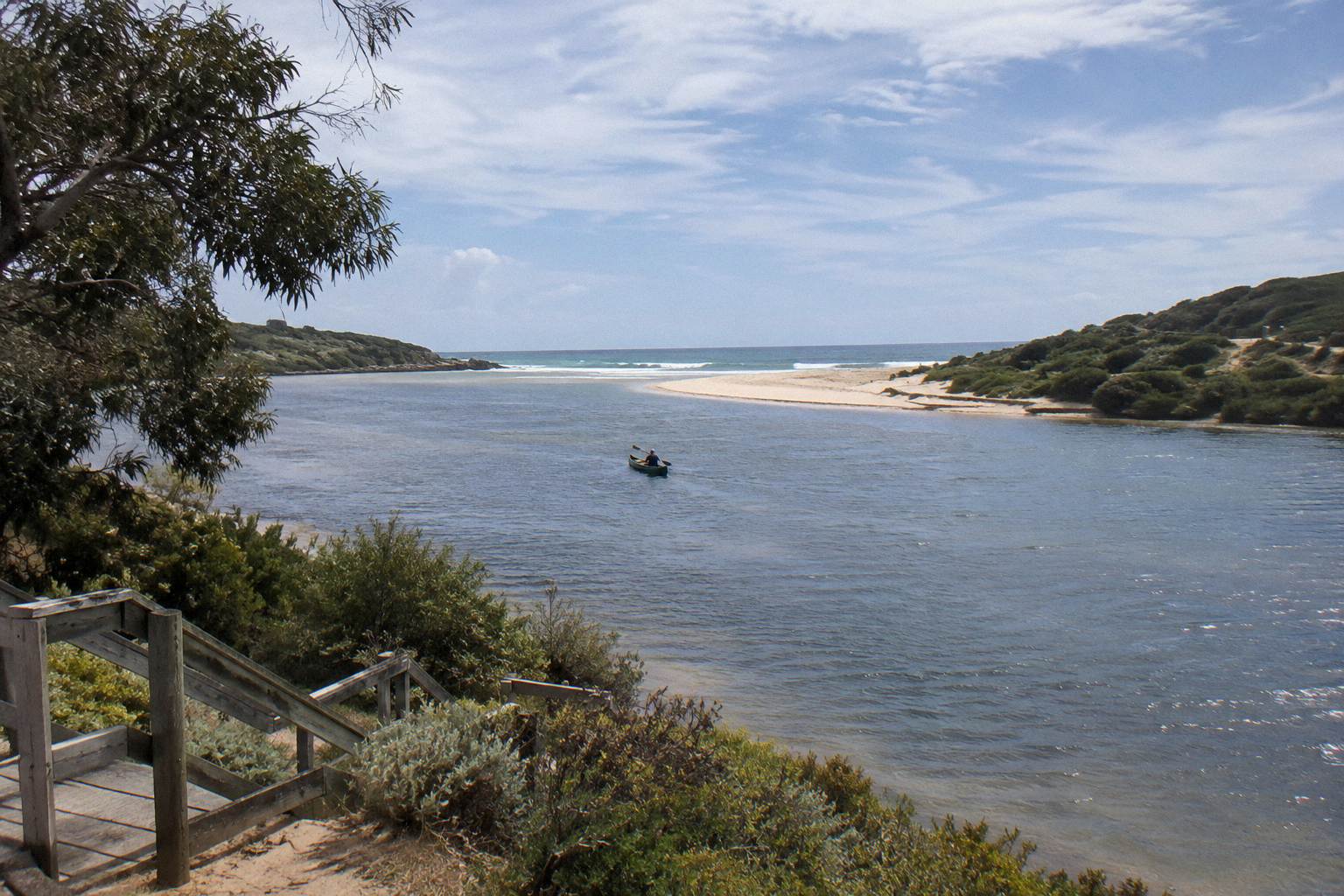
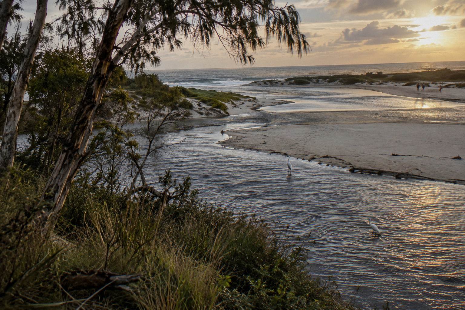
The Shire of Augusta Margaret River explains the mechanism plainly: throughout the year the Rivermouth naturally opens and closes as river flows, rainfall and ocean conditions change. When the sandbar is closed, freshwater pools form in the lower river. Water levels are lowest over summer and autumn. The Shire also asks visitors not to dig channels through the sandbar, because the breach behaves on its own schedule, not a visitor's.
For a paddler this means two framing points. First, no one can promise the river meets the ocean on any given day; the guided paddle runs upstream from the mouth into the river valley, not out to sea, so the trip does not depend on the bar being open. Second, the water you paddle is the same water the rain calendar controls, so the month you book genuinely shapes the feel of the day: glassy and warm in late summer, fuller and greener in winter.
To the Wadandi people the river is Wooditjup, named after the magic man Wooditj, and the Shire's protection strategy for it carries that name. That long human history with the seasonal river is worth holding onto while you read the tables below, because the seasons you are scheduling around are the same ones that shaped thousands of years of camping and food gathering along these banks.
Summer: Hot Days, Low Water, Almost No Rain
December, January and February are the driest months on both stations, with inland rainfall averages of 17.9, 12.3 and 12.2 mm respectively, and the hottest mean maxima of the year, 24.9, 26.6 and 27.1 degrees inland. The river sits at its lowest levels of the year over these months, which for a calm-water paddle is not a problem but the normal condition.
Summer is when the region most lives up to its holiday reputation. The coastal Cape Leeuwin station runs cooler than inland Witchcliffe by roughly three to four degrees on mean maxima, 21.9, 23.1 and 23.4 degrees across the same three months, and coastal mornings hold more warmth overnight, with mean minima of 15.8, 17.0 and 17.3 degrees against 12.4, 13.9 and 14.4 inland. A paddle that starts at the river mouth near Prevelly sits close to that coastal moderation, which takes the edge off a hot afternoon.
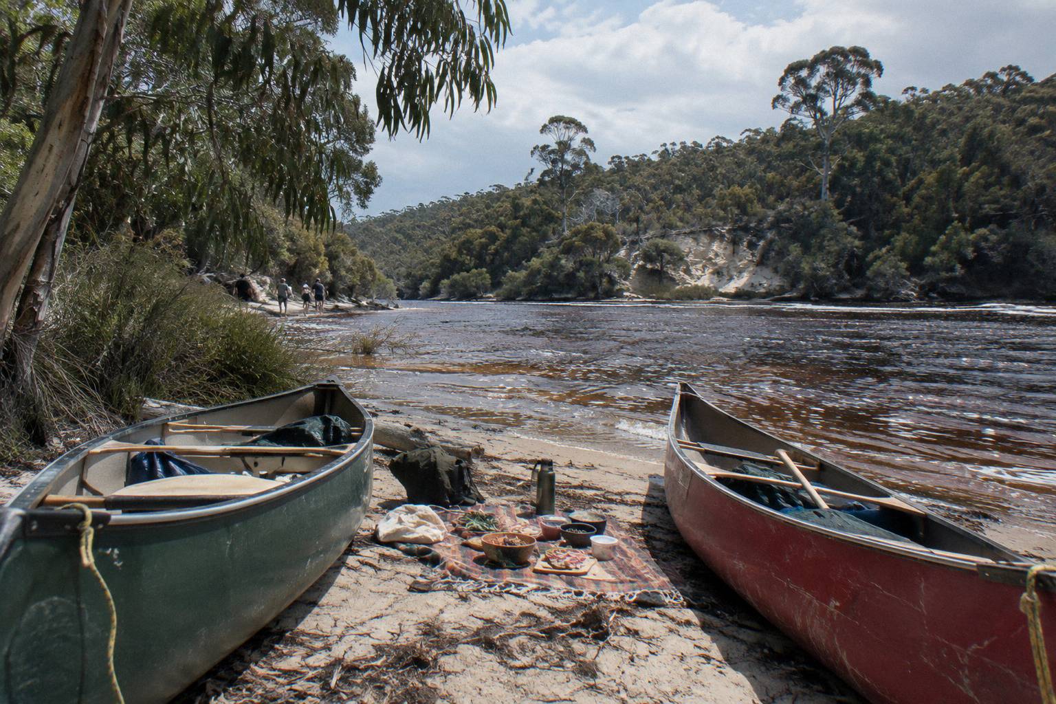
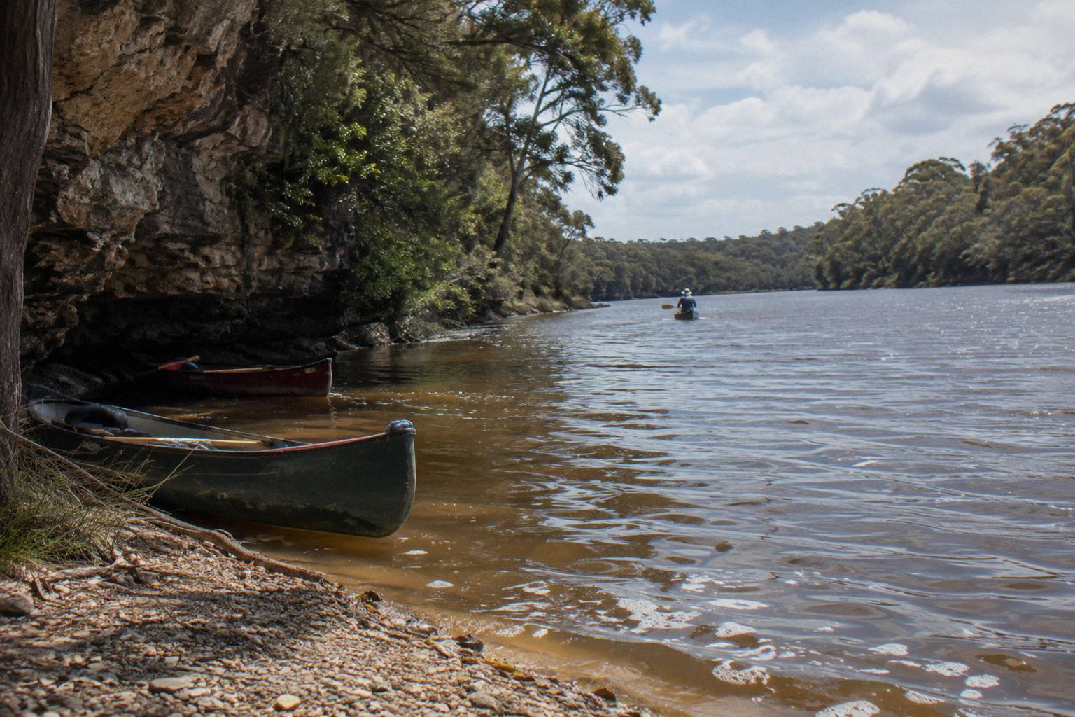
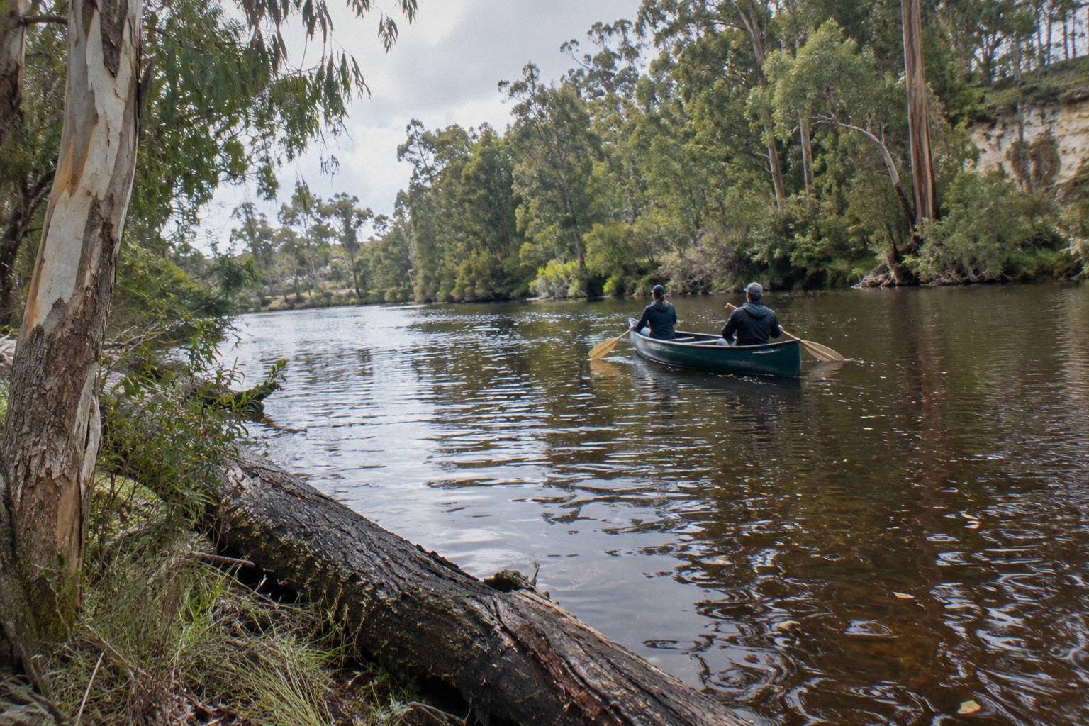
The low summer water deserves one careful sentence. The Shire says levels are lowest over summer and autumn, and a self-guided hire base describes the stretch as more like a beautiful long lake with no strong river currents for most of the year. Those are descriptions of the same quiet water, and the guided canoe operators run through it in summer without listing a heat policy, because none is published. Shade along the forested banks and the morning start, on the water by 10.15 am on the wild food trip, are the practical answers to February heat.
What summer asks of you is sun sense rather than paddling skill. Book the morning departure, take a hat and water, and expect the lunch stop to be the social centre of the day. If a very hot spell is forecast for your dates, that is a question for the operator rather than a reason to avoid the month, because no operator here publishes a heat or wet-weather cancellation policy. Ask when you book, and pack from our guide on what to wear and bring for a canoe paddle.
If a pure summer paddle with a long lunch ashore sounds right, the two guided options cover different styles of day. The wild food trip is the four-hour paddle with a native-tasting lunch; the Discovery Co day folds a shorter canoe leg into a 4x4, lunch and wine itinerary.
Autumn: The Steady Slide From Warm To Green
March, April and May take the inland mean maxima from 25.6 to 22.5 to 19.7 degrees while rainfall climbs from 27.8 to 62.6 to 132.3 mm. March still feels like summer on the water, April is the first month where a light layer earns its place, and May is when the catchment starts filling again after the dry months.
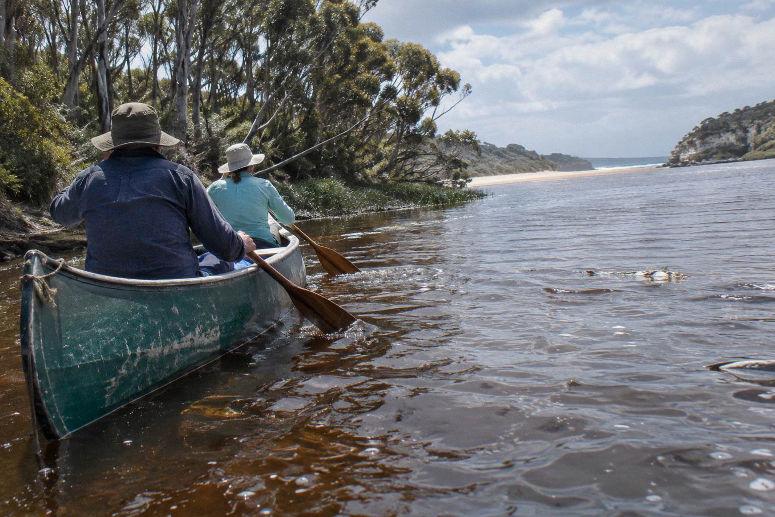
Autumn is the quiet achiever of the Margaret River calendar. The water is still at its seasonal low into March and April, per the Shire's note that levels are lowest over summer and autumn, so the paddling stays calm and predictable while the air temperatures ease off their February peak. The coastal station tells the same story with softer numbers: mean maxima of 22.7, 21.3 and 19.3 degrees, and rainfall of 28.4, 59.0 and 133.4 mm.
Rain in autumn is worth reading correctly. A 62.6 mm April average inland is spread across the month as fronts begin arriving, not concentrated into an all-day soaker every day. The lower river responds gradually as the catchment's 190 km of tributaries, the largest being the Mowen River and Bramley Brook, start moving water again. Paddlers who want the lake-calm conditions with fewer hot days often land here, though the framing is that March, April and May each trade a little warmth for a little green.
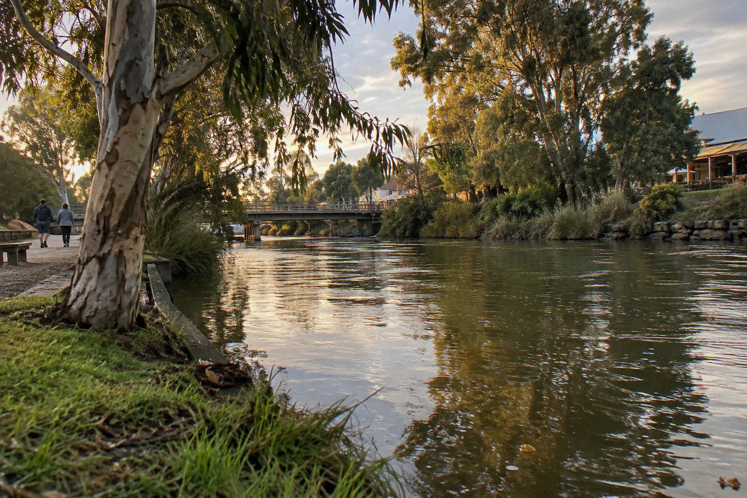
For clothing, autumn is the season of layers that get removed by lunchtime. The wild food trip serves lunch by 1 pm and finishes at Surfer's Beach about 2 pm, so the warmest part of the day is spent ashore or nearly finished, which makes the cooler mornings easy to manage with a fleece you can stow in the canoe.
Deciding between a paddle-only day and a fuller tour day is easier once you know your month: autumn's mild days suit the longer Canoe, 4x4 And Wine Day, from A$248 per person, rated 5.0 from 2,100+ reviews, if you want cliffs and a winery lunch built around the canoe leg, while the Wild Food Canoe Lunch, from A$150 per person and rated 4.9 from 228 reviews, stays the focused four hours on the water.
Winter: The Wettest Months, And Why People Still Paddle
June, July and August are the wettest months on both stations: inland rainfall averages of 179.7, 194.1 and 157.7 mm, with July the peak, and mean maxima of 17.5, 16.4 and 16.8 degrees. The river is at its fullest, the forest is at its greenest, and the paddle itself keeps running because the operator lists the wild food canoe as running year round.
Winter rain in the south-west arrives in frontal bands off the ocean, and the coastal station records 173.4, 177.3 and 134.8 mm across the same three months, remarkably close to the inland figures. What the averages cannot tell you is whether your specific Tuesday is inside a front or in the clear spell between two of them, and that is exactly why no forecast belongs on a page of averages. Check the forecast for your date, book with the averages in mind, and read the cancellation terms on the booking page for the date you book, because they differ between pages. If wet-day gear is the question, our page on paddling in winter rain and cold covers it in detail.
The case for winter paddling is the case for winter anywhere in the karri and jarrah country: the river rises, the tributaries run, the kangaroo habitat along the forested banks is lush, and the moody light over the water is a photographer's month. The case against is comfort. A 16.4 degree July mean maximum is mild by southern-hemisphere winter standards, but rain on a paddle is a personal-tolerance question, and neither operator offers a stated wet-weather policy, so ask the operator what happens if the day turns.
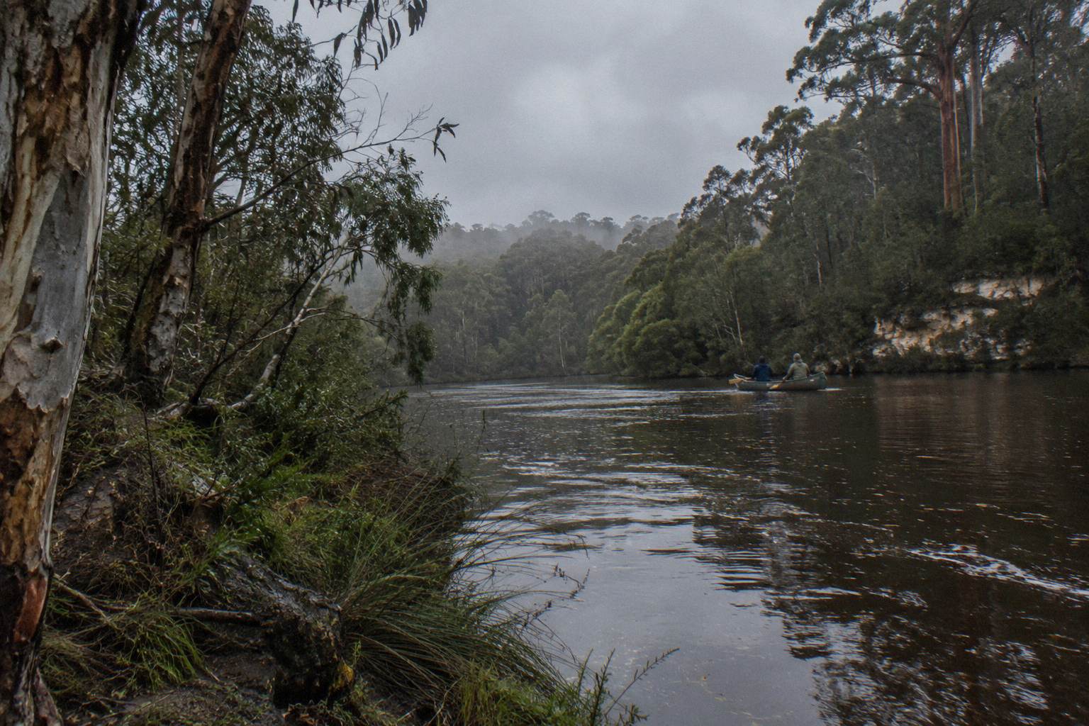
One winter detail matters more than most visitors expect: the sandbar. Higher winter flows are what naturally breach the mouth when conditions line up, and the Shire stresses that the Rivermouth opens and closes on its own. Never plan a day around watching the river meet the sea, and never help it along: digging channels through the sandbar is exactly what the Shire asks visitors not to do.
Spring: Warming Weeks Between The Rains
September, October and November walk the inland mean maxima back up from 17.5 to 19.7 to 22.8 degrees while rainfall falls from 108.7 to 63.8 to 34.7 mm. The river is coming down from its winter levels through September, then settling toward the calmer, lower conditions of the dry months, with November often reading like a preview of summer.
Spring is the transition paddlers underestimate. Early September still carries winter's numbers, with 108.7 mm of rain on the inland average, but by November the mean maximum is 22.8 degrees and the month's 34.7 mm average is drier than any month since April. The coastal station follows the same path, 17.2, 18.3 and 20.2 degrees mean maxima with 88.7, 63.3 and 35.8 mm of rain.
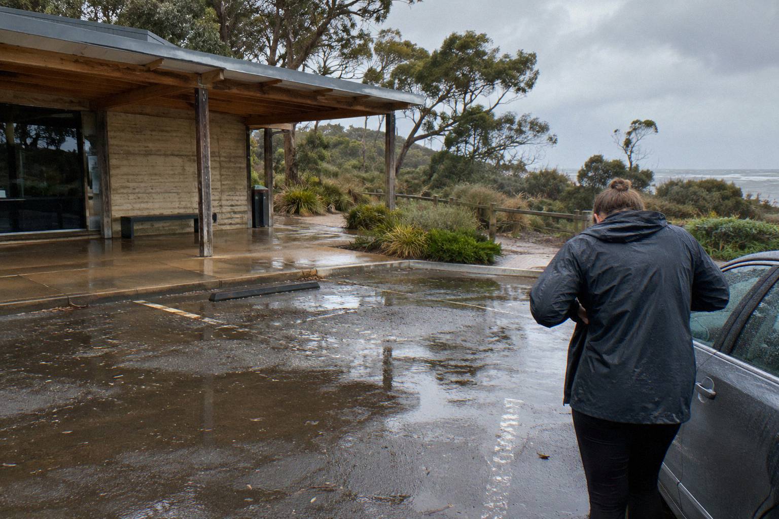
The water story in spring is the catchment draining. Whatever the 190 km of tributaries delivered in July and August moves slowly through the system, so spring paddling often finds the river fuller than the rainfall of the weeks around your visit would suggest. That fuller water is still the same motor-free, no-strong-current stretch the hire base describes, but it moves the scenery toward green banks and away from the sandy summer margins.
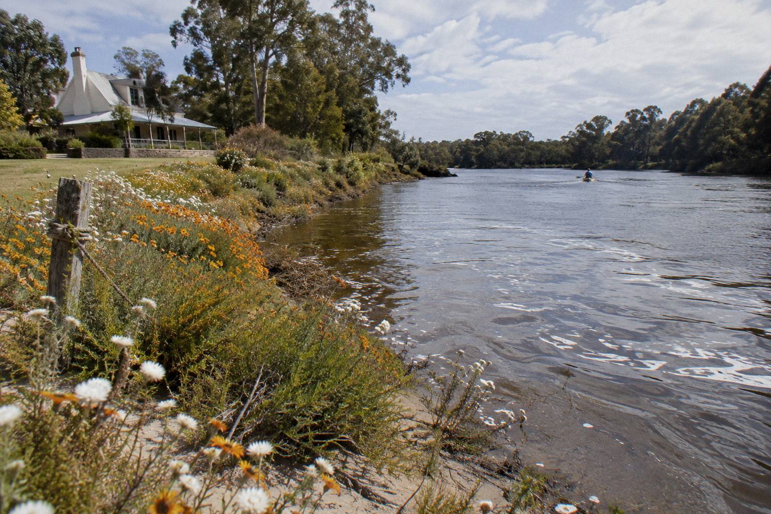
Spring is also wildflower season in the south-west, one of the region's genuine drawcards, and the forested sections of the paddle route put you inside it rather than looking at it from a car window. If your travel dates are flexible across spring, the later you go the more the numbers look like summer: drier, warmer, lower water.
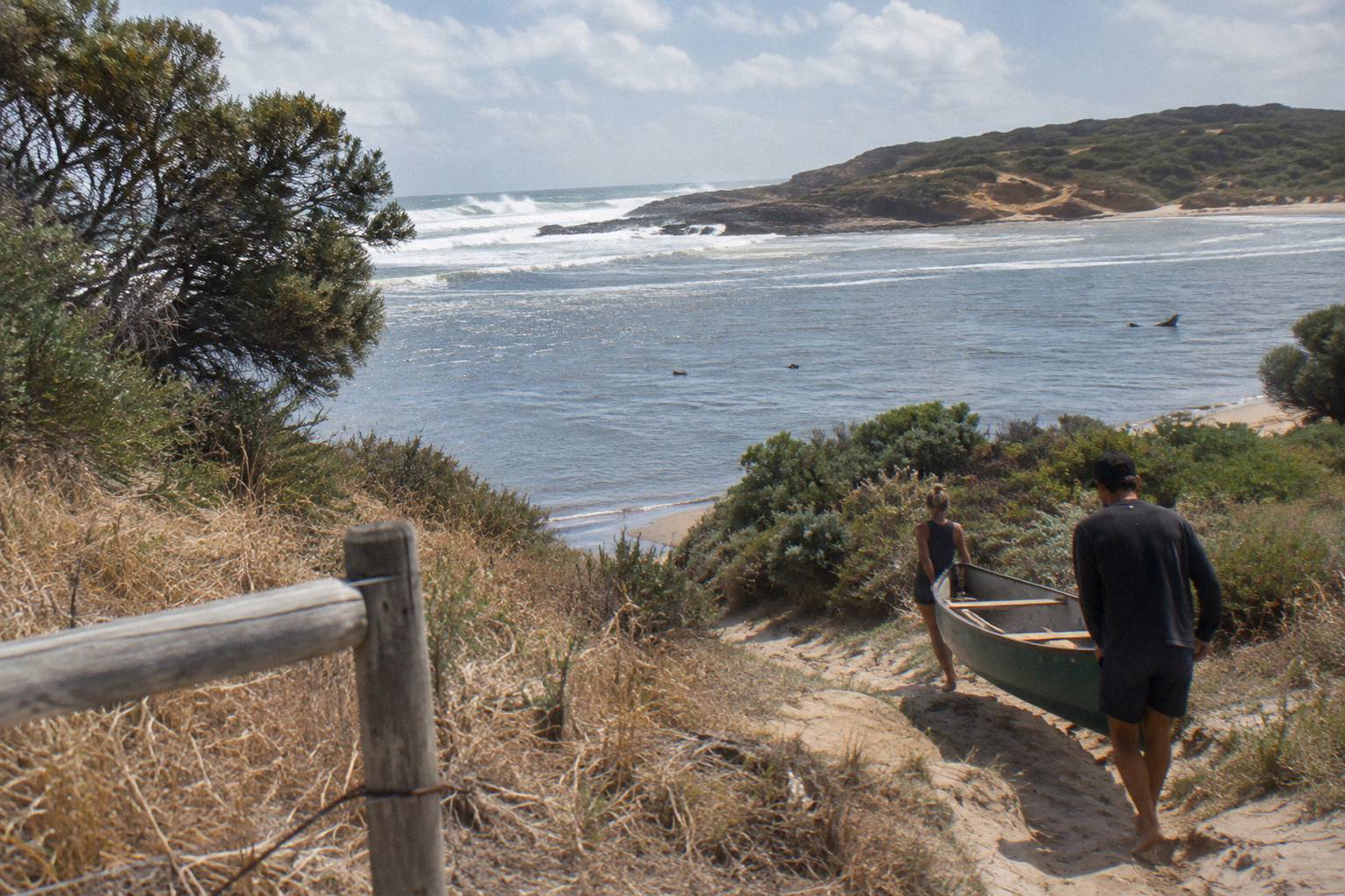
The Two Stations: Inland Witchcliffe Versus Coastal Cape Leeuwin
Witchcliffe is the inland station, 22 years of record from 1999 to 2021, and it runs warmer by day and colder by night than Cape Leeuwin, which carries up to 130 years of coastal record. The river-mouth paddle at Prevelly sits closer to the coastal moderation, so a hot inland forecast is usually a degree or three gentler at the put-in.
The difference is consistent all year. In February the coastal mean maximum is 23.4 against 27.1 inland; in July it is 16.5 against 16.4, nearly identical. Overnight the coast never drops below a 11.3 degree mean minimum in any month, while inland August averages 8.2 degrees. For a morning paddle this matters: a coastal-influenced start means the 10.15 am launch rarely feels as sharp as the inland minimum suggests.
Here are the full Bureau of Meteorology averages for Witchcliffe, the inland station, 1999 to 2021:
| Month | Mean maximum (C) | Mean minimum (C) | Mean rainfall (mm) |
|---|---|---|---|
| January | 26.6 | 13.9 | 12.3 |
| February | 27.1 | 14.4 | 12.2 |
| March | 25.6 | 13.3 | 27.8 |
| April | 22.5 | 11.3 | 62.6 |
| May | 19.7 | 9.8 | 132.3 |
| June | 17.5 | 8.9 | 179.7 |
| July | 16.4 | 8.2 | 194.1 |
| August | 16.8 | 8.2 | 157.7 |
| September | 17.5 | 8.6 | 108.7 |
| October | 19.7 | 9.4 | 63.8 |
| November | 22.8 | 10.9 | 34.7 |
| December | 24.9 | 12.4 | 17.9 |
And the same months for Cape Leeuwin, the coastal station at the lighthouse where the two oceans meet, with a record stretching back about 130 years:
| Month | Mean maximum (C) | Mean minimum (C) | Mean rainfall (mm) |
|---|---|---|---|
| January | 23.1 | 17.0 | 16.1 |
| February | 23.4 | 17.3 | 15.7 |
| March | 22.7 | 16.8 | 28.4 |
| April | 21.3 | 15.5 | 59.0 |
| May | 19.3 | 13.8 | 133.4 |
| June | 17.4 | 12.2 | 173.4 |
| July | 16.5 | 11.4 | 177.3 |
| August | 16.5 | 11.3 | 134.8 |
| September | 17.2 | 11.9 | 88.7 |
| October | 18.3 | 12.7 | 63.3 |
| November | 20.2 | 14.3 | 35.8 |
| December | 21.9 | 15.8 | 19.9 |
Both tables come from the Bureau of Meteorology's published climate averages for Witchcliffe and Cape Leeuwin. They are long-run averages, not forecasts, and any single day can sit well outside them. The useful way to read them is as a calendar of likelihoods: which months rarely bring rain, which bring it often, and how warm the middle of the day tends to be.
One caution about the numbers themselves: the Bureau's printed annual rainfall for Witchcliffe does not equal the sum of its monthly figures, so rely only on the monthly numbers. Comparing months to months is safe; adding them up is not.
Rain, The Sandbar And River Levels
The sandbar at the Margaret River mouth opens and closes naturally as river flows, rainfall and ocean conditions change, and when it is closed, freshwater pools form in the lower river. Water levels are lowest over summer and autumn, and the Shire asks visitors never to dig channels through the sandbar.
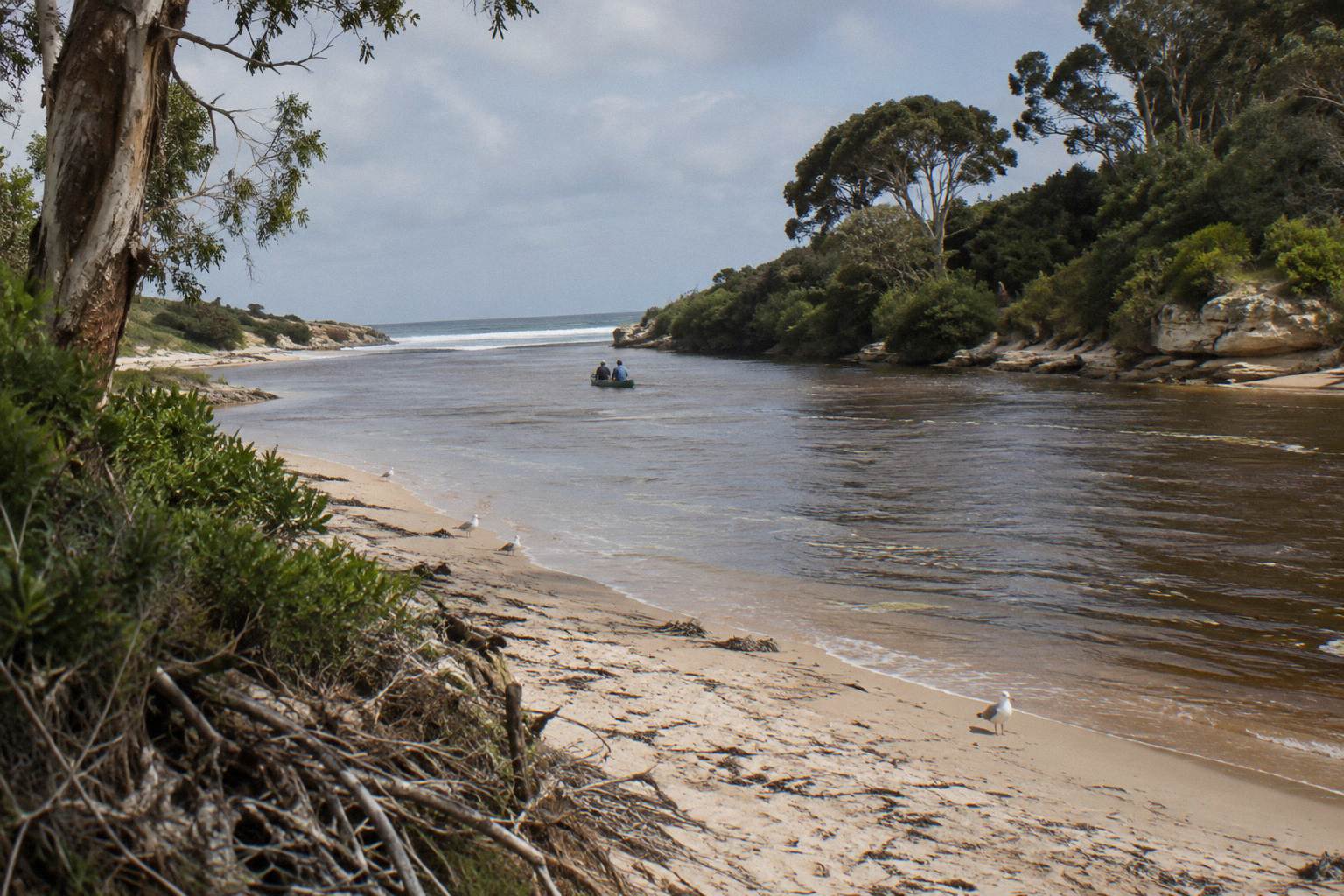
This is the single most misunderstood piece of river weather in the region. Visitors sometimes arrive expecting a river visibly meeting the ocean, because the trip meets at the river mouth. In most conditions the mouth is closed by sand and the lower river is a pool system, which is precisely why it paddles so calmly. The operator's route runs from the mouth into the river valley past cliffs and upstream past forested kangaroo habitat, in water a self-guided hire base describes as more like a long lake than a river, for most of the year.
No official water temperature, depth, flow rate or clarity figure exists for this stretch from any primary source, and none is published here. If a listing or a brochure quotes one, treat it as marketing rather than measurement. What you can rely on is the rainfall logic: wet months raise the system, dry months settle it, and the paddle adapts rather than cancels. For the fuller picture on what that means for conditions on the water, see river water temperature and flow for paddling.
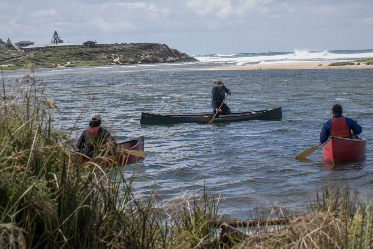
Does The Canoe Paddle Actually Run In Every Month?
The operator of the Wild Food Canoe Lunch lists the trip as running year round, and the Canoe, 4x4 And Wine Day runs Monday to Friday, departing at 10.15 am from the Margaret River Visitor Centre. Neither operator publishes a wet-weather, heat or cancellation-for-weather policy, so the weather question to ask at booking is what happens on the day, not whether the day exists.
That distinction is worth slowing down on. Averages tell you what a month is like in general; they cannot tell you what the operator does when a July front lands on your booked morning. Neither operator has such a policy, so ask when you book and read the cancellation terms for the date you book, because those terms differ between dates. The Wild Food Canoe Lunch costs from A$150 per person, rated 4.9 from 228 reviews, and runs about 4 to 4.5 hours; the Discovery Co day costs from A$248 per person and takes at most six guests.
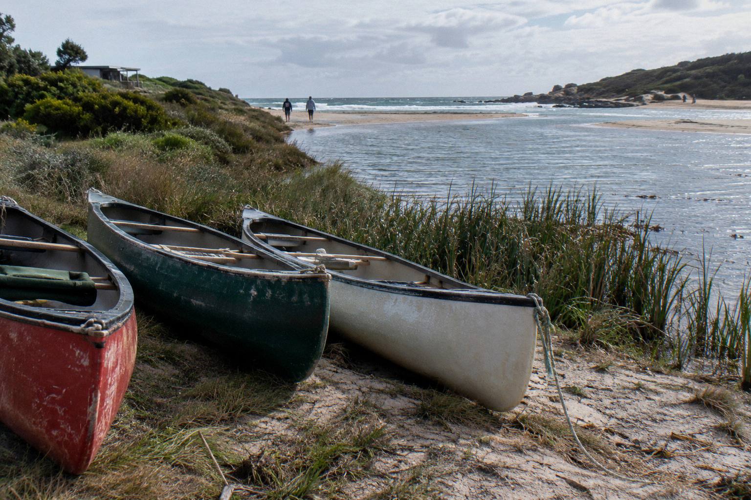
The meeting point detail also has a weather angle. The wild food trip meets about 9.40 am, the operator's wording, or 9:45 am on the booking page, at the Margaret River mouth car park at the end of Rivermouth Rd, Prevelly, which is about 10 to 15 minutes from Margaret River town. In winter that drive is the part of the day you are most exposed to weather, not the paddle itself; once you are on the sheltered water the valley cuts the wind. Whether the trip includes transport to the meeting point is reported differently by two booking pages, so ask the operator. Pickup from the Margaret River Visitor Centre at 9.30 am exists by arrangement if you have no transport, per the operator.
If a full-day itinerary appeals in the shoulder months, the Discovery Co trip, the one with the most reviews at 5.0 from 2,100+, keeps its canoe leg brief and builds the rest of the day around a beach coffee stop, a waterhole visit, lunch with premium wine in the barrel room at Fraser Gallop Estate, and a 4x4 leg along the Wilyabrup Cliffs section of the Cape to Cape Track. It is a different shape of day, not a rival to the pure paddle.
How To Read These Averages When You Pick A Date
Match the month's numbers to what you want from the day: hot and dry means February and its 27.1 degree mean maximum and 12.2 mm of rain, mild and green means April or May, dramatic and wet means July's 194.1 mm, and a dry warm shoulder means November. There is no single best month, only the month that fits your tolerance and your itinerary.
A quick way to line the months up against each other, using only the inland Witchcliffe averages already printed above:
| Month | Character for a paddle | Mean max (C) | Rain (mm) |
|---|---|---|---|
| January | Hot, dry, calm low water | 26.6 | 12.3 |
| February | Hottest and driest month of the year | 27.1 | 12.2 |
| March | Summer feel, first rain returning | 25.6 | 27.8 |
| April | Mild days, fronts starting | 22.5 | 62.6 |
| May | Green banks, regular rain | 19.7 | 132.3 |
| June | Wet, full river, mild days | 17.5 | 179.7 |
| July | Wettest month, coolest days | 16.4 | 194.1 |
| August | Still wet, slowly brightening | 16.8 | 157.7 |
| September | Rains easing, river draining | 17.5 | 108.7 |
| October | Spring warmth, wildflowers | 19.7 | 63.8 |
| November | Dry and warm, summer preview | 22.8 | 34.7 |
| December | Hot and dry again | 24.9 | 17.9 |
Three practical notes sit behind any date you pick. First, if heat is your constraint, the morning start is your friend: on the water at 10.15 am, lunch by 1 pm, off the water about 2 pm on the wild food trip, which keeps the hottest hours mostly ashore or finished. Second, if rain is your constraint, remember the trip is sheltered water, not open sea, so the operator's go or no-go call is the one that matters and no policy is published to predict it. Third, book ahead in the months that suit you, because a page of averages cannot tell you how full a February or April morning gets; a separate look at whether you need to book a canoe paddle in advance covers that.
The month also shapes the rest of your day, and the region gives you plenty to build around a paddle: entry to Leeuwin-Naturaliste National Park is free, with cave admission fees applying separately, and Prevelly is about 10 km from town. If you want the fuller planning picture, the month-by-month weather logic here pairs naturally with what to wear and bring, and with reading the river's temperature and flow behaviour.
Common Questions About Margaret River Paddling Weather
What Is The Wettest Month In Margaret River?
July, on the Bureau of Meteorology averages, with 194.1 mm of rain at the inland Witchcliffe station and 177.3 mm at coastal Cape Leeuwin.
What Is The Driest Month In Margaret River?
February, with 12.2 mm of rain on the Witchcliffe averages and 15.7 mm at Cape Leeuwin. It is also the hottest month, with a 27.1 degree mean maximum inland.
Does The Canoe Paddle Run In Winter?
The operator lists the Wild Food Canoe Lunch as running year round. No wet-weather cancellation policy is published, so ask the operator what happens if your booked day turns wet, and check the cancellation terms on the booking page for your date.
Is The River Lower In Summer?
Yes. The Shire of Augusta Margaret River says water levels in the lower river are lowest over summer and autumn, and when the sandbar at the mouth is closed, freshwater pools form in the lower river.
Can You See The River Meet The Ocean On A Paddle?
Not on a schedule. The Rivermouth naturally opens and closes as river flows, rainfall and ocean conditions change, and the guided paddle runs upstream into the river valley rather than out to sea, so the trip does not depend on the bar being open.
Is There An Official Water Temperature For The Margaret River?
No. No official water temperature, depth, flow rate or clarity figure exists from a primary source, so none is published here.