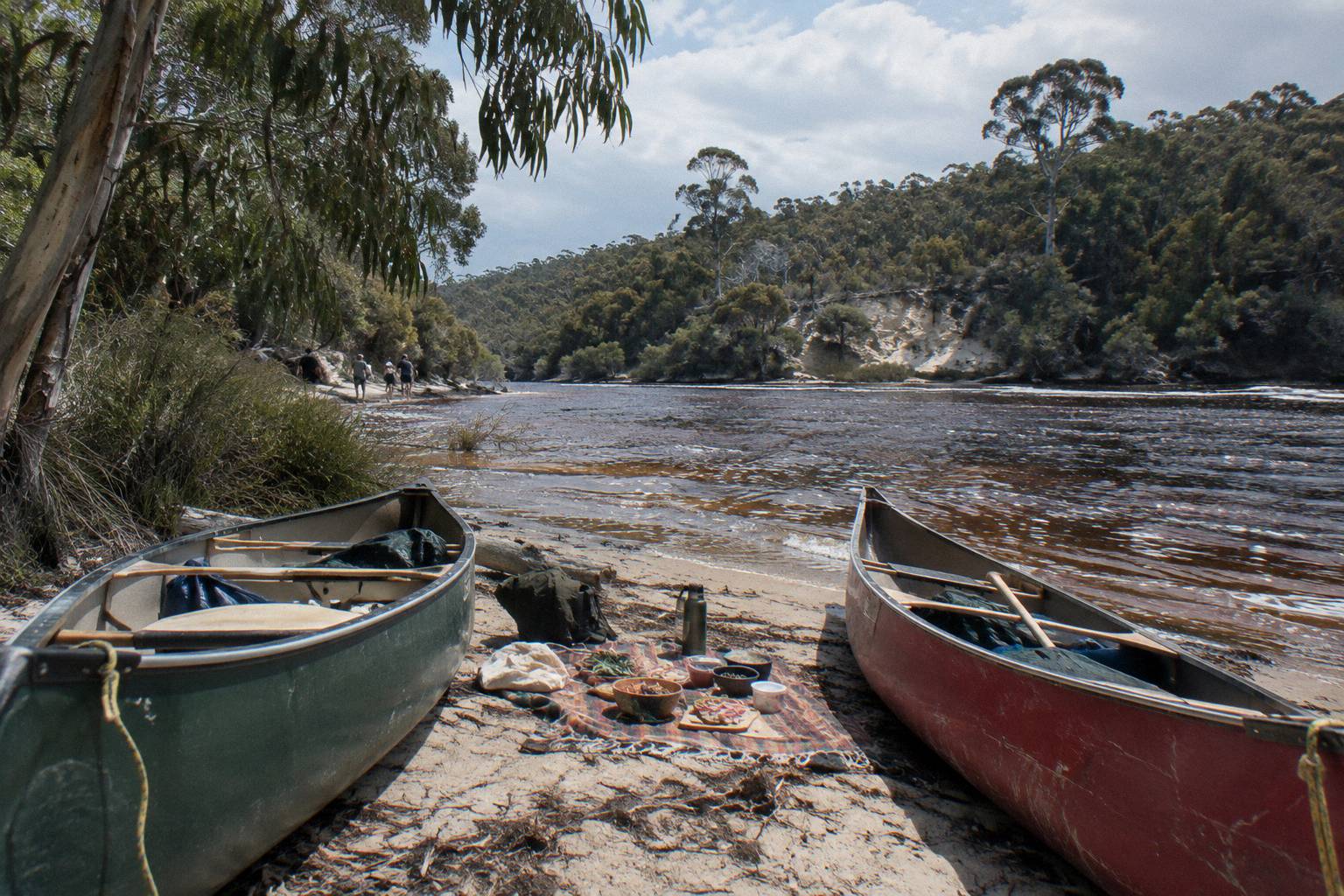
How Strong Is The River Flow On A Margaret River Canoe Paddle?
The Margaret River paddle stretch is a calm, motor-free pool for most of the year. Here is what each official source says about flow, the sandbar at the mouth, and the seasons.
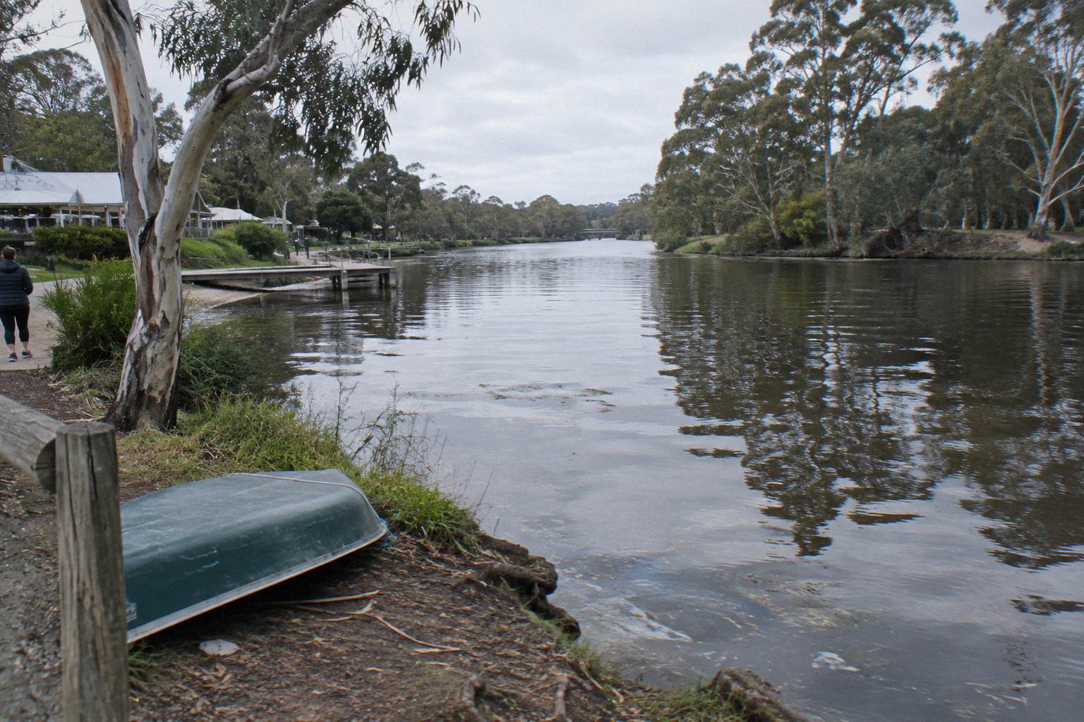
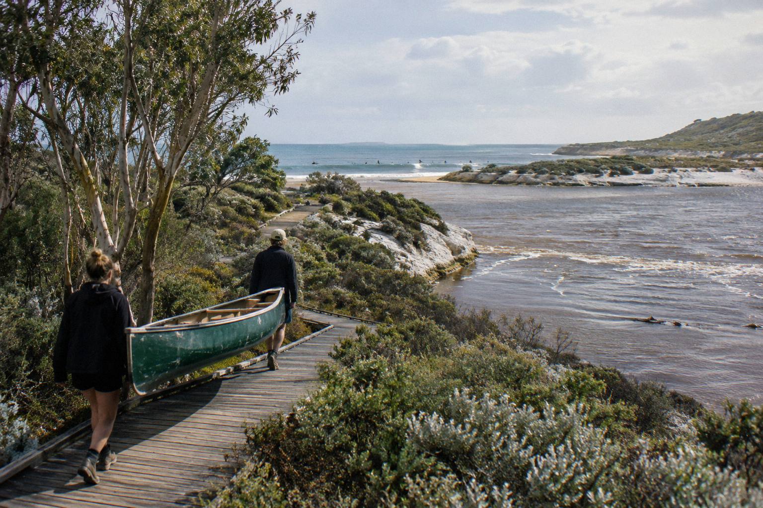
For most of the year, barely any: the Margaret River along the hire and tour stretch feels more like a beautiful long lake with no strong currents, and since no motor craft are permitted there is no wake or boat wash either. The only real variable is the sandbar at the mouth, which naturally opens and closes with flows, rainfall, and ocean conditions.
That is the short answer, but the full picture has a few moving parts. The lower Margaret River is not a whitewater river and it is not tidal in the way an open estuary is. It is a drowned river valley closed off from the ocean by a sandbar for most of the year, which is exactly why canoe tours run here at all: the water is still, sheltered from wind by the valley walls in most reaches, and safe for the two-to-five-seat canoes the operators use.
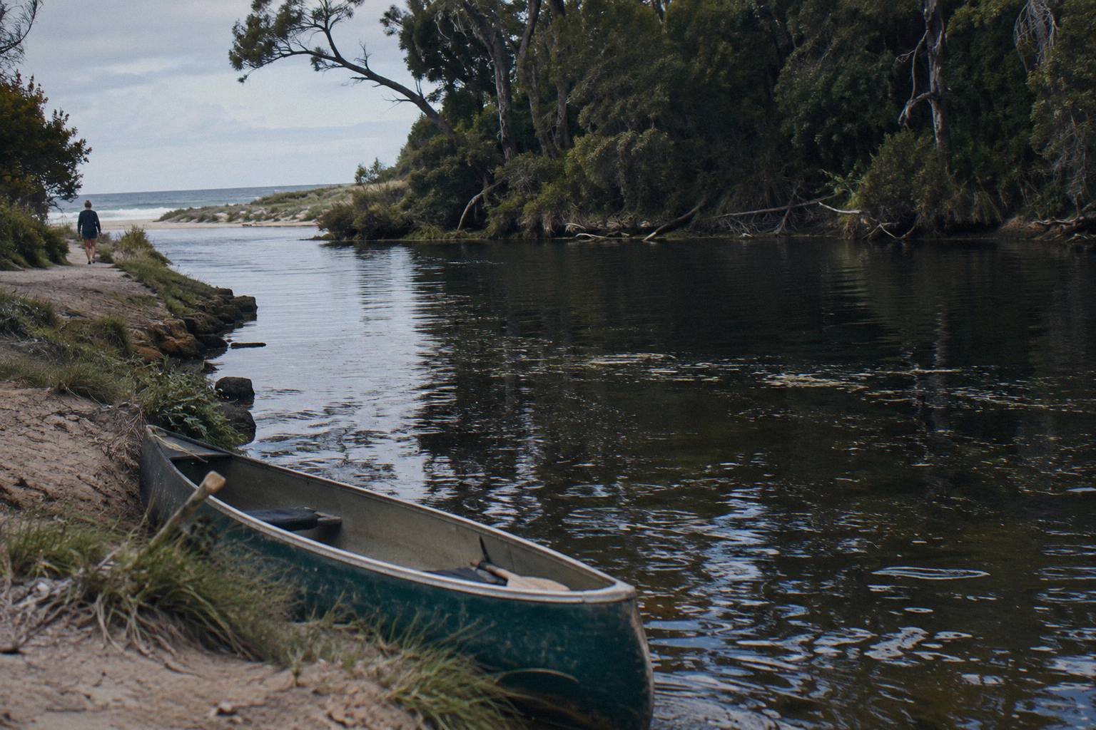
Whether the river mouth paddle is safe matters more than anything else before you go. The water itself is the main thing: how much it moves, when it moves most, and how the seasons change what you will feel under the paddle. The flow question matters most to first-time paddlers booking a guided trip, because "canoe tour" can summon images of a rushing river when the reality is closer to a lake with a current you have to look for.
If you are weighing the two guided options, both paddle the same kind of water: the Wild Food Canoe Lunch, from A$150 per person, rated 4.9 from 228 reviews, about 4 to 4.5 hours, and the Canoe, 4x4 And Wine Day, from A$248 per person, rated 5.0 from 2,100+ reviews, about 5.5 to 6 hours. Prices here are in Australian dollars.
Is There Any Current On The Paddle Stretch?
No strong current affects this stretch for most of the year, according to the self-guided hire base on Rivermouth Road in Prevelly, which describes it as "more like a beautiful long lake with no strong river currents." However, no agency publishes an official flow speed figure for the Margaret River at any point in the year, so that description is the only available guidance.
That last point is worth dwelling on, because it is why you should trust sources rather than numbers here. There is no government gauge reporting cubic metres per second for the lower Margaret River, no published depth chart for the paddle stretch, and no official water temperature figure. Any site quoting a current speed in knots or a depth in metres for this river is inventing it. What does exist is a set of consistent descriptions from the people who actually use the water, and they all point the same way: still.
Here is what each source actually says, attributed, so you can weigh them yourself. Note that the hire base's wording describes its own self-guided stretch; it is not a rating of the guided trips, which paddle the same motor-free water but with a guide, equipment and, on the Wild Food Canoe Lunch, a lunch of native tastings.
| Source | What it says about flow and current | In its own words or paraphrased |
|---|---|---|
| Shire of Augusta Margaret River | The river mouth opens and closes with river flows, rainfall and ocean conditions; when the sandbar is closed, freshwater pools form in the lower river | Paraphrased from the Shire's Rivermouth page |
| Self-guided hire base, Rivermouth Road | The stretch has no motor boats and no vehicle access, up to 3 km of paddling | "For most of the year it is more like a beautiful long lake with no strong river currents" |
| Bushtucker Wine And River Tours | The paddle runs from the river mouth upstream into the river valley, past cliffs and forested kangaroo habitat | "No motor craft are permitted on the river" |
| Margaret River Discovery Co | The canoe leg covers a section of the Margaret River, with operator wording that you "won't get wet, dirty or fall in" | Paraphrased from the operator's tour page |
| Bureau of Meteorology | Publishes rainfall and temperature averages for the region, which drive the levels, but no river flow figure | Witchcliffe and Cape Leeuwin climate tables |
The absence of a current claim is itself the finding. When an operator that has run canoe trips here since 1990 describes the route as suitable for all ability levels, and a separate hire business hands Canadian canoes to casual walk-ins on the same water, the river is not demanding technical paddling. The effort is distance effort, not fighting water.
When Does The River Mouth Open, And What Changes?
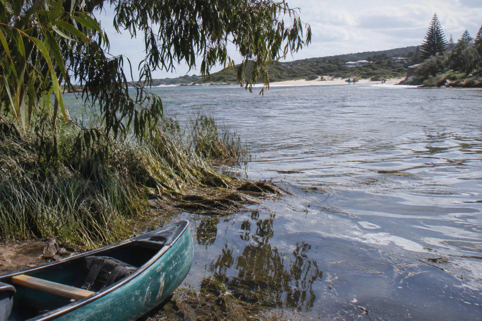
The mouth at Prevelly opens for a short period each year when river flows, rainfall and ocean swell combine to breach the sandbar, and it closes again on its own. The Shire of Augusta Margaret River, whose page on the Rivermouth is dated 26 Oct 2026, puts it plainly: it "naturally opens and closes as river flows, rainfall and ocean conditions change". Nobody can promise the mouth is open, or closed, on any given date.
This matters for one specific expectation. Some visitors picture paddling out to where the river meets the sea, surf-style. The guided trips do not do that. The Wild Food Canoe Lunch meets at the Margaret River mouth car park at the end of Rivermouth Rd, Prevelly, and paddles upstream into the river valley, away from the ocean. The river meeting the sea is something you might see from the beach before or after the trip, if the sandbar happens to be open that day, but it is not part of the paddle.
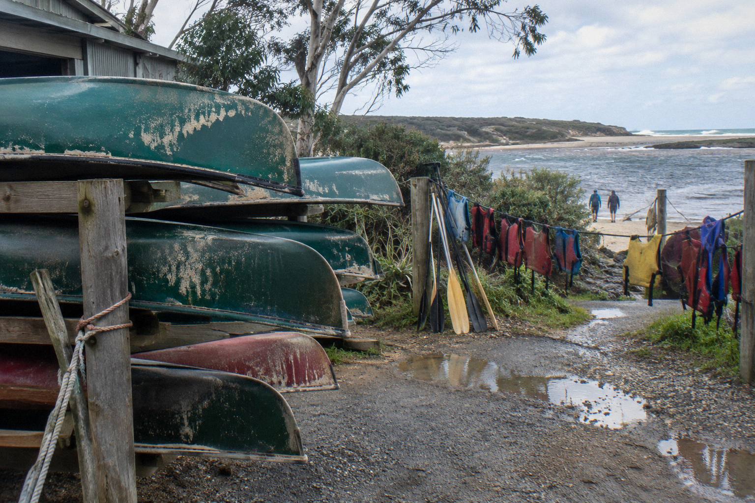
When the sandbar is closed, which is most of the time, the Shire notes that freshwater pools form in the lower river. That is the condition the tours operate in: a settled, impounded pool with no tidal exchange and no outflow current. When the bar does break through, usually after sustained winter rain raises the river, there can be a period of faster moving water near the mouth while the pool drains and exchanges with the ocean. Operators watch this constantly and adjust, which is one quiet argument for a guided trip over going alone: the guide makes the call on the day.
One thing the Shire asks of visitors, worth repeating: do not dig channels through the sandbar. People sometimes try to help the river reach the sea by hand. It damages the structure of the bar and the ecology of the estuary, and it is exactly the kind of intervention the Shire's page warns against. Paddle, photograph, leave it alone.
How Rain And Season Change The Water Level
Seasonal rain drives the river's water level through a yearly cycle: the Shire says lower river levels are lowest over summer and autumn, then peak after winter rains, a swing explained by Witchcliffe's Bureau of Meteorology averages of 194.1 mm in July against just 12.2 mm in February, a sixteenfold difference that fills and drains the catchment through the year.
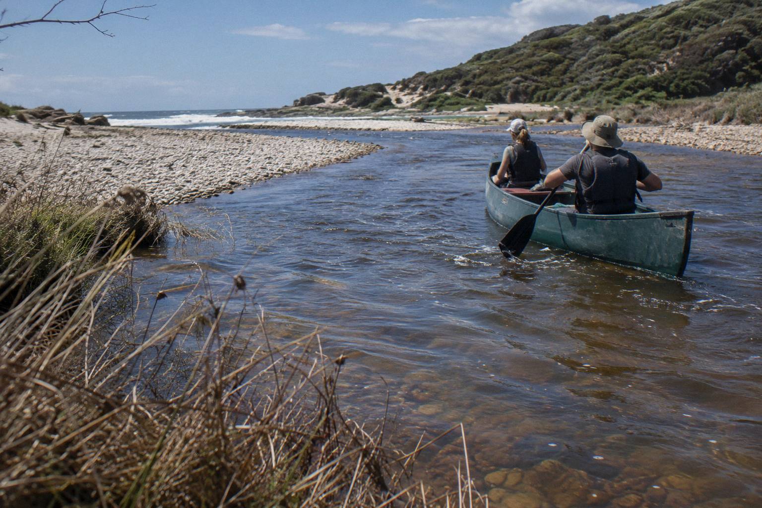
The seasonal swing does not change the still-water character of the paddle stretch, but it changes the look of it. In late summer, after months of 12 to 18 mm months, the pool sits lower against the banks, the samphire and reed edges stand taller relative to the water, and some side channels dry back. In spring, after winter, the water climbs the banks, floods the fringing vegetation and spreads out. Both are pleasant to paddle; they are simply different landscapes. Everything else covered here is indexed on Margaret River Canoe Tours.
| Month | Mean rainfall, Witchcliffe (mm) | Mean daily maximum (C) | What it tends to mean for the paddle |
|---|---|---|---|
| January | 12.3 | 26.6 | Low, warm water, busy school-holiday stretch |
| February | 12.2 | 27.1 | Lowest river of the year, hottest days |
| March | 27.8 | 25.6 | Still low, quieter tracks, warm afternoons |
| April | 62.6 | 22.5 | First useful rains, levels begin to lift |
| May | 132.3 | 19.7 | Catchment wetting up, greening banks |
| June | 179.7 | 17.5 | High water, more flow toward the bar |
| July | 194.1 | 16.4 | Wettest month, fullest river, coldest days |
| August | 157.7 | 16.8 | Still full, wildflowers beginning |
| September | 108.7 | 17.5 | High but settling, peak wildflower season |
| October | 63.8 | 19.7 | Dropping, mild, popular paddling month |
| November | 34.7 | 22.8 | Settled pool, warm, calm mornings |
| December | 17.9 | 24.9 | Low again, long summer evenings |
The Bureau's Witchcliffe climate averages are the inland reference for the catchment, and its Cape Leeuwin averages show the coast running a degree or two cooler year-round. For a month-by-month paddling read, paddling weather month by month works through the same calendar with clothing and timing advice. Note that Witchcliffe's record covers 22 years to 2021, so treat the table as a planning average, not a forecast for your week.
One seasonal point worth knowing if you are choosing between the guided days: the Canoe, 4x4 And Wine Day runs Monday to Friday only, departs 10:15 am from the back car park of the Margaret River Visitor Centre, and takes at most six guests. The Wild Food Canoe Lunch runs year-round on the operator's own claim. Neither schedule is a flow issue; the river is paddleable in every month, and the operators say so by running in every month.
What The Flow Means For Effort And Difficulty
In short, the flow is close to irrelevant to the difficulty of a guided Margaret River paddle. The trip is rated for all ability levels by the operator, the water is still or near-still, and the effort that matters is ordinary paddling over a few kilometres, upstream and back, at a pace set by the guide. The Bureau's rainfall table matters far more to your comfort than any current does.
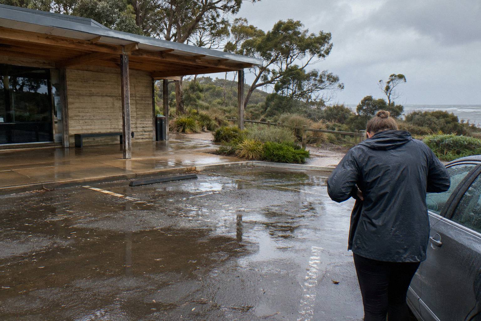
The Wild Food Canoe Lunch meets at the river mouth car park around 9.40 to 9.45 am, gets on the water about 10.15 am, serves lunch by 1 pm and finishes at Surfer's Beach about 2 pm, which tells you the pacing: roughly three hours on the water including a long lunch stop, in two-to-five-seat canoes, with instruction and equipment provided. A trip with that shape is not built around fitness. It is built around looking at cliffs, forest and wildlife while the boat drifts.
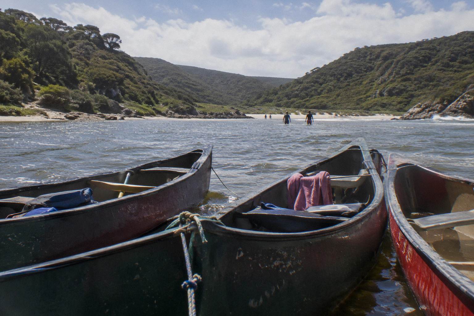
For readers who want the mechanics: paddling a still-water pool upstream is not like walking uphill. You push water aside either way, and the return leg feels marginally easier, but on water this calm the difference is small. Wind is the real variable on any open reach, and on this river the valley walls shelter most of the paddle line. A breezy morning matters more than the river's flow ever will. If wind is your concern rather than current, the site's guide to river water temperature and flow for paddling collects what is and is not published.
The Wadandi context adds something the difficulty question usually misses. To the Wadandi people the river is Wooditjup, named after the magic man Wooditj, and the Shire's protection strategy for the waterway carries that name. The same stillness that makes the river easy for beginners is what made it a reliable freshwater resource and camping country for tens of thousands of years; Devil's Lair, south of the river, shows Wadandi presence at least 48,000 years back. Paddling quietly through that valley is paddling through the reason the valley was lived in at all.
Guided Trip Or Self-Guided Hire On The Same Water
Both options paddle the same motor-free stretch with an identical flow case, so the choice rests on what the trip adds rather than what the water demands. Guided trips bring lunch, equipment, instruction and commentary, with the Canoe, 4x4 And Wine Day adding a 4x4 leg and a winery lunch for a full day, while hire from Rivermouth Road offers open-ended paddling with free paddles, life jackets and wetsuits in Canadian canoes licensed for at most three people.
The hire base sits on Rivermouth Road at Prevelly, about 10 to 15 minutes from Margaret River town, about 10 km by the tourism drive-times table. Its hire fleet includes kayaks, canoes, bodyboards and stand-up paddleboards, and its own description of the water is the single best flow summary you will find. Ask the operator before you book: check hire amounts with the hire base directly.
| Wild Food Canoe Lunch | Canoe, 4x4 And Wine Day | Self-guided hire | |
|---|---|---|---|
| Operator or provider | Bushtucker Wine And River Tours | Margaret River Discovery Co | A hire base on Rivermouth Road (not named here) |
| Shape of the day | About 4 to 4.5 hours, paddle plus wild food lunch with 20 native tastings | About 5.5 to 6 hours, canoe leg plus 4x4, walk and winery lunch | Open-ended paddling, up to 3 km of river |
| From price | From A$150 per person | From A$248 per person | Not printable, ask the hire base |
| Rating and count | 4.9 from 228 reviews | 5.0 from 2,100+ reviews | No rating printed |
| Schedule | Year-round (operator claim), meets about 9.40-9.45 am at Prevelly | Monday to Friday, departs 10:15 am from the Visitor Centre | Check with the base |
| Cancellation | Differs by booking page, check the page for your date | Booking pages show free cancellation up to 24 hours, read the page for your date | Check with the base |
The better framing is that these are different trip styles, not rivals. A four-hour paddle with a wild food lunch suits a morning-to-mid-afternoon window and a curiosity about native foods. The longer day suits someone who wants the canoe as one leg of a full Margaret River experience that also touches the Wilyabrup Cliffs section of the Cape to Cape Track. Hire suits the traveller who already knows the water or wants to set their own turnaround. The river, for all three, is the same quiet pool. The site's wider comparison, canoe or kayak hire versus a guided paddle, works through the trade-offs beyond flow.
One habit worth keeping wherever you book: read the cancellation terms on the booking page for the date you actually book. These trips differ, and no single policy would be true for every one of them.
What Nobody Publishes About This River
Three figures do not exist in any official source for the lower Margaret River: water depth, flow rate and water temperature. The Bureau publishes rainfall and air temperature, the Shire describes the sandbar behaviour, the operators describe the experience, but no agency measures or publishes those three numbers for the paddle stretch. Any depth figure you see is an estimate, so treat it that way.
That gap is worth stating once, plainly, because search results fill it with invented numbers. Depth in particular gets quoted confidently on travel forums, usually by people extrapolating from one visit in one season. The truth is that the level moves with the rainfall table shown above, the pool is closed or open depending on the bar, and nobody publishes a gauge height for it. If knowing an exact depth matters to your decision, ask the operator on the morning of your trip.
What you can rely on instead is the pattern, and the pattern is stable: still water, no motors, a sheltered valley, levels lowest across summer and autumn, a mouth that opens briefly and unpredictably after winter flows. The Bushtucker canoe tour page and the Margaret River Discovery Co tour page each describe the same stretch from their own side of it. Between the Shire's sandbar notes, the Bureau's rainfall and those operator descriptions, you know as much about the flow of this river as anyone who does not measure it for a living.
Common Questions About River Flow On A Margaret River Canoe Paddle
How Strong Is The River Flow On A Margaret River Canoe Paddle?
For most of the year there is effectively no current. A hire base on the stretch describes it as "more like a beautiful long lake with no strong river currents", and no motor craft are permitted on the river. The only variable is the sandbar at the mouth, which the Shire says naturally opens and closes with flows, rainfall and ocean conditions.
Can The Current Stop You Paddling Upstream?
No. On water this still, upstream and downstream paddling feel nearly the same. The guided trips paddle upstream from the mouth into the valley and return the same way, at a pace set by the guide, and the operator describes the trip as suitable for all ability levels.
Does The River Meet The Ocean During The Paddle?
Not on the guided trips. Both paddle upstream from the river mouth area into the river valley, away from the sea. Whether the sandbar at the mouth is open on any given day depends on flows, rainfall and ocean conditions, and nobody can promise it in advance.
When Is The Water Level Lowest?
Over summer and autumn, the Shire says. The Witchcliffe rainfall averages explain the rhythm: July averages 194.1 mm and February just 12.2 mm, so the catchment fills through winter and draws down through the warm months.
Is Any Official Flow Speed, Depth Or Water Temperature Published?
No. No agency publishes a flow rate, depth or water temperature figure for the lower Margaret River. The Bureau publishes rainfall and air temperature, and the Shire describes the sandbar behaviour, but the three water figures do not exist in official sources.
Are There Motorboats Or Jet Skis On The Paddle Stretch?
No. The operator notes that no motor craft are permitted on the river, and a hire base adds that there is no vehicle access to its section either. The water is quiet enough that birdlife and kangaroos on the banks are the usual companions.